Norman S. Barrett Libri
- C. J. Norman
- R. J. Stephen
1 gennaio 1935


The Shadow of Snails
- 98pagine
- 4 ore di lettura
One saturday morning, Laura reads an article about the death of two gay men who died in a car crash the night before. Later that afternoon, one woman in her late thirties is found dead. A few hours later another woman is found dead in her bathroom. A few days later, Laura receives a phone call from the police...
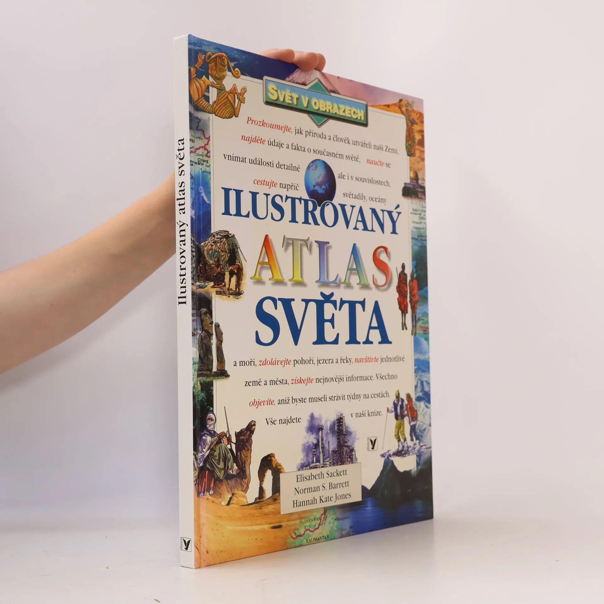
Discover the World: The World Atlas
- 96pagine
- 4 ore di lettura
This atlas of the world aims to give children a feel for the diversity of peoples and places around the world. There are five sets of maps for each country: a locator map; a satellite map; a political map; a full cartographic map; and a physical map.

The Picture World of Planets
- 29pagine
- 2 ore di lettura
Describes the planets in our solar system and how they differ.

Logic Games
- 40pagine
- 2 ore di lettura
Focusing on logic games, this is one of a series which aims to alert even the brightest thinkers with its tricks, games and puzzles, and is designed to entertain young readers whilst helping them learn more about basic science topics. The books also contain facts and simple experiments.

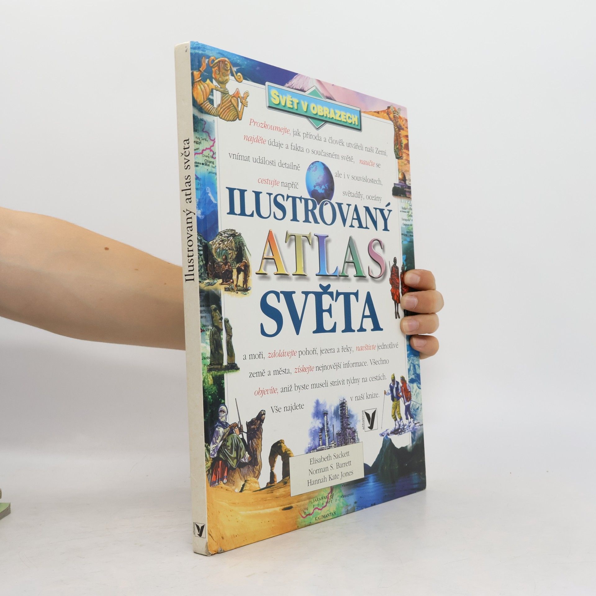
Ilustrovaný atlas světa svět v obrazech
- 96pagine
- 4 ore di lettura
Vedle fyzických map obsahuje řadu informací z hospodářského a politického zeměpisu. Data a fakta jsou bohatě doplněna barevnými ilustracemi, fotografiemi i satelitními snímky.
 3,9
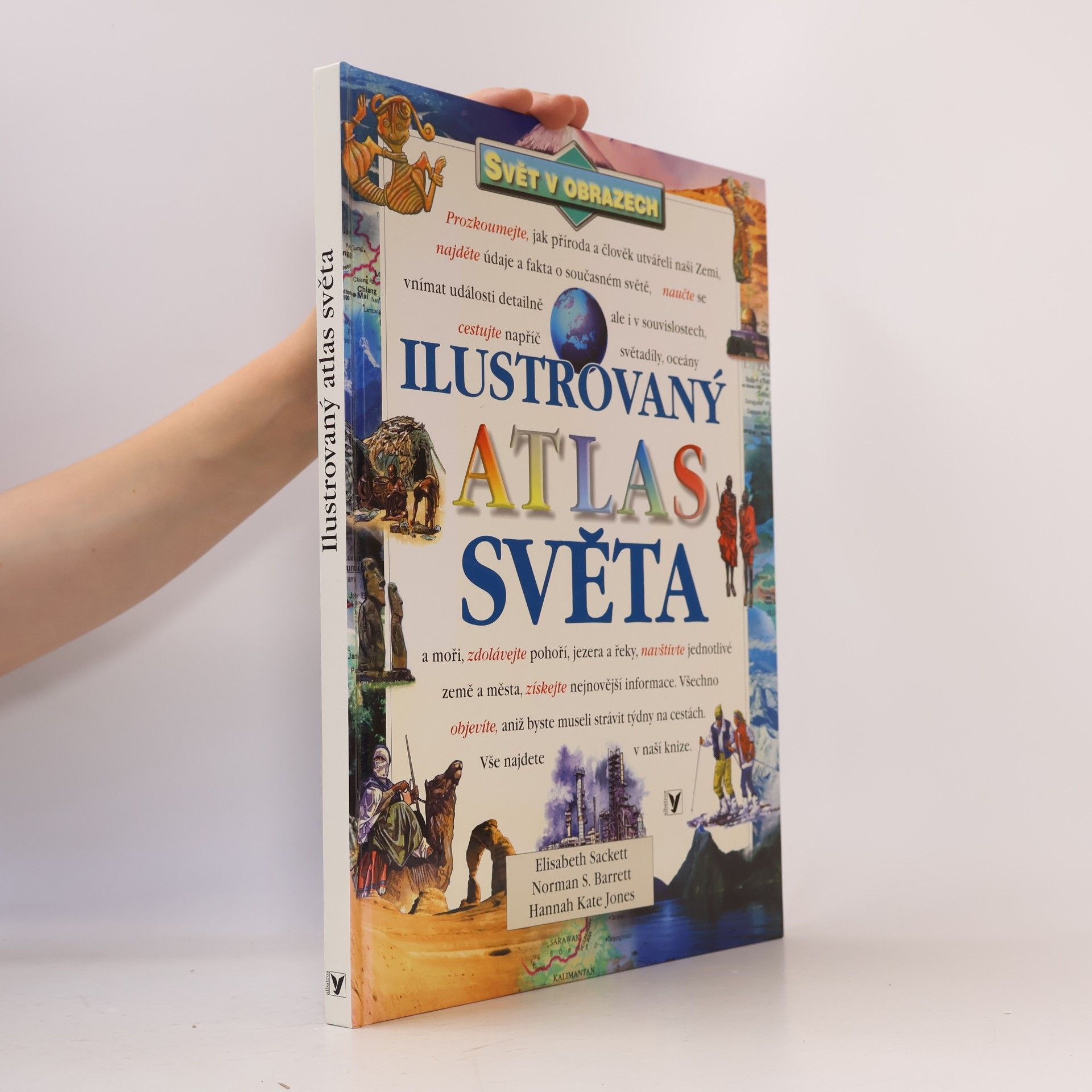
Ilustrovaný atlas světa
- 96pagine
- 4 ore di lettura
Ilustrovaný atlas světa nabízí nový způsob, jak se seznámit s naším stále se měnícím světem. Vedle fyzických map obsahuje řadu informací z hospodářského a politického zeměpisu. Data a fakta jsou bohatě doplněna barevnými ilustracemi, fotografiemi i digitálními mapami. Jednotlivé kapitoly představují každý světadíl obecně a nabízejí podrobnější informace a zajímavosti o jednotlivých oblastech a státech.
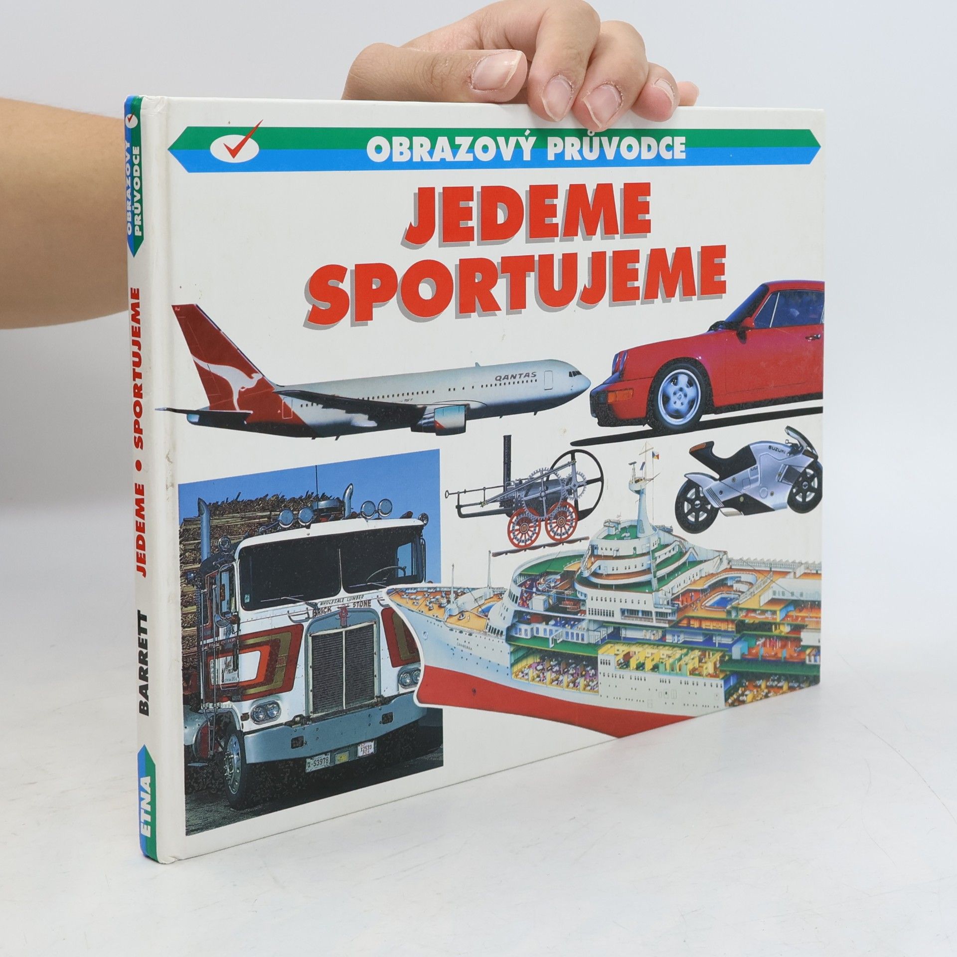
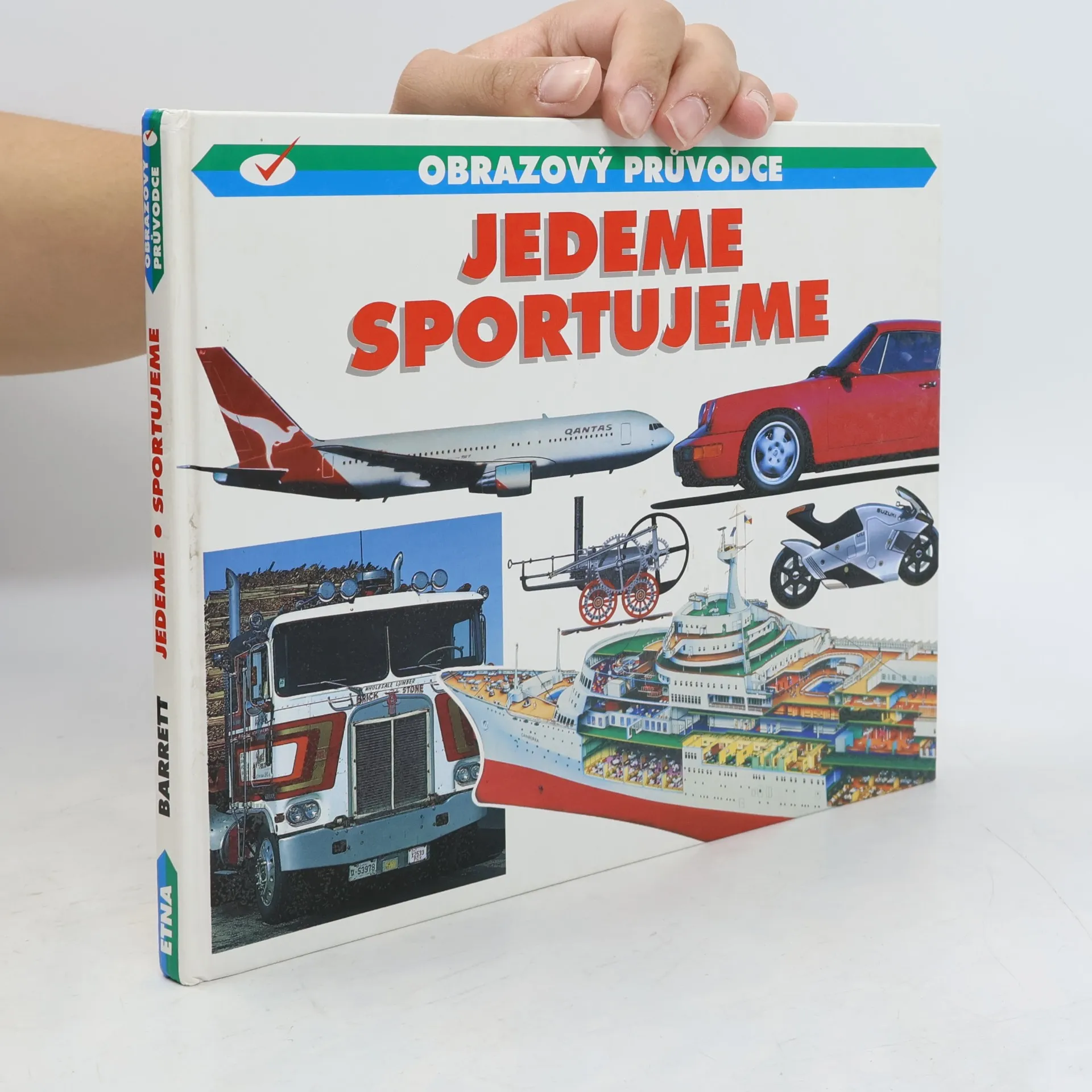
Řada "Obrazový průvodce" přibližuje dětem populární náměty prostřednictvím ilustrací a vybraných fotografií vhodných k vystřihování. Každému stroji nebo dopravnímu prostředku je věnována vždy celá dvoustrana doplněná jednoduchým textem.