Più di un milione di libri, a un clic di distanza!
Bookbot

Michael P. Peterson

    Entrepreneurship
    International perspectives on maps and the internet
    Online maps with APIs and WebServices
    Advances in Cartography and GIScience
    • Advances in Cartography and GIScience

      Selections from the International Cartographic Conference 2017

      • 558pagine
      • 20 ore di lettura

      This book presents a selection of manuscripts submitted to the 2017 International Cartographic Conference held in Washington, DC at the beginning of July and made available at the conference. These manuscripts have been selected by the Scientific Program Committee and represent the wide-range of research that is done in the discipline. It also forms an important international collection representing research from at least 30-40 countries.

      Advances in Cartography and GIScience
    • Online maps with APIs and WebServices

      • 318pagine
      • 12 ore di lettura

      The Internet has become the major form of map delivery. The current presentation of maps is based on the use of online services. This session examines developments related to online methods of map delivery, particularly Application Programmer Interfaces (APIs) and MapServices in general, including Google Maps API and similar services. Map mashups have had a major impact on how spatial information is presented. The advantage of using a major online mapping site is that the maps represent a common and recognizable representation of the world. Overlaying features on top of these maps provides a frame of reference for the map user. A particular advantage for thematic mapping is the ability to spatially reference thematic data.

      Online maps with APIs and WebServices
    • The introduction highlights the evolution of Internet cartography since the launch of the Mosaic browser in 1993, which enabled the first web map transmission. Initially overlooked, this development has led to a remarkable transformation in how maps are created and shared. The transition from static paper maps to dynamic, interactive digital maps has revolutionized the dissemination of spatial information. Today, millions of maps are generated by servers every hour, making the Internet the go-to resource for locating and learning about places. This shift has established the World Wide Web as the primary medium for accessing geospatial information, fundamentally changing our interaction with maps and their role in our daily lives.

      International perspectives on maps and the internet
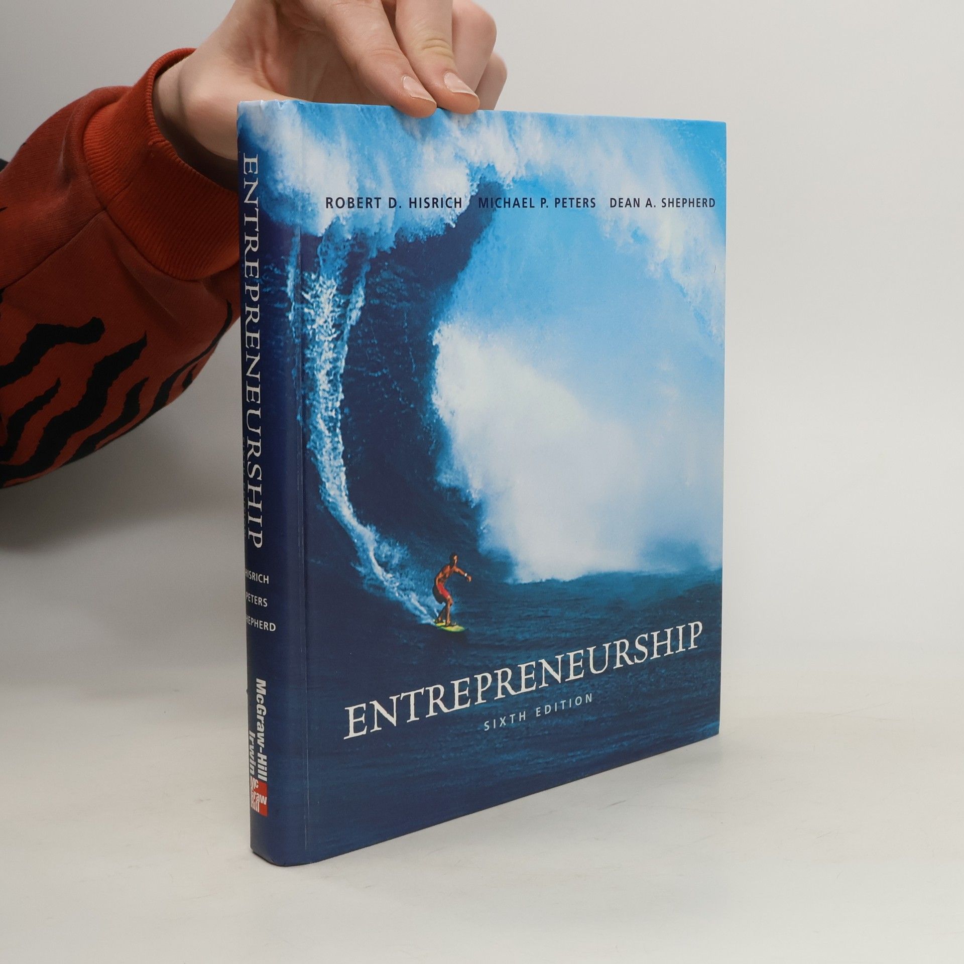
    • Entrepreneurship, by Hisrich, Peters and Shepherd is intended for the undergraduate and graduate courses in entrepreneurship and has been designed to instruct students on how to formulate, plan, and implement a new venture. Students are exposed to detailed descriptions of 'how to' embark on a new venture in a logical manner. Actual case studies and entrepreneur profiles help illustrate successful and not-so-successful ventures.

      Entrepreneurship