


Maggiori informazioni sul libro
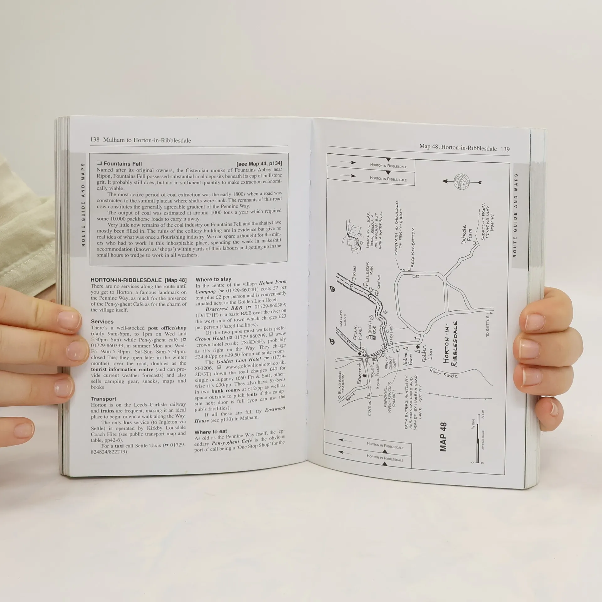
Britain’s best-known National Trail winds for 256 miles through three National Parks – the Peak District, Yorkshire Dales and Northumberland. This superb footpath showcases Britain’s finest upland scenery, while touching the literary landscape of the Bronte family and Roman history along Hadrian’s Wall.* 135 walking maps – 1:20,000 (3-1/8 inches to 1 mile) – the largest-scale maps available.*Unique mapping features – walking times, directions, tricky junctions, places to stay, places to eat, points of interest.* Includes day walks and short breaks.* Practical information for all budgets – what to see, where to stay, where to eat: pubs, B&Bs, hotels, campsites, hostels.
Acquisto del libro
Pennine Way, Keith Carter, Edward de la Billiere
- Firma non autografa
- Lingua

- Pubblicato
- 2008
- product-detail.submit-box.info.binding
- (In brossura)
Metodi di pagamento
Ancora nessuna valutazione.