


Maggiori informazioni sul libro
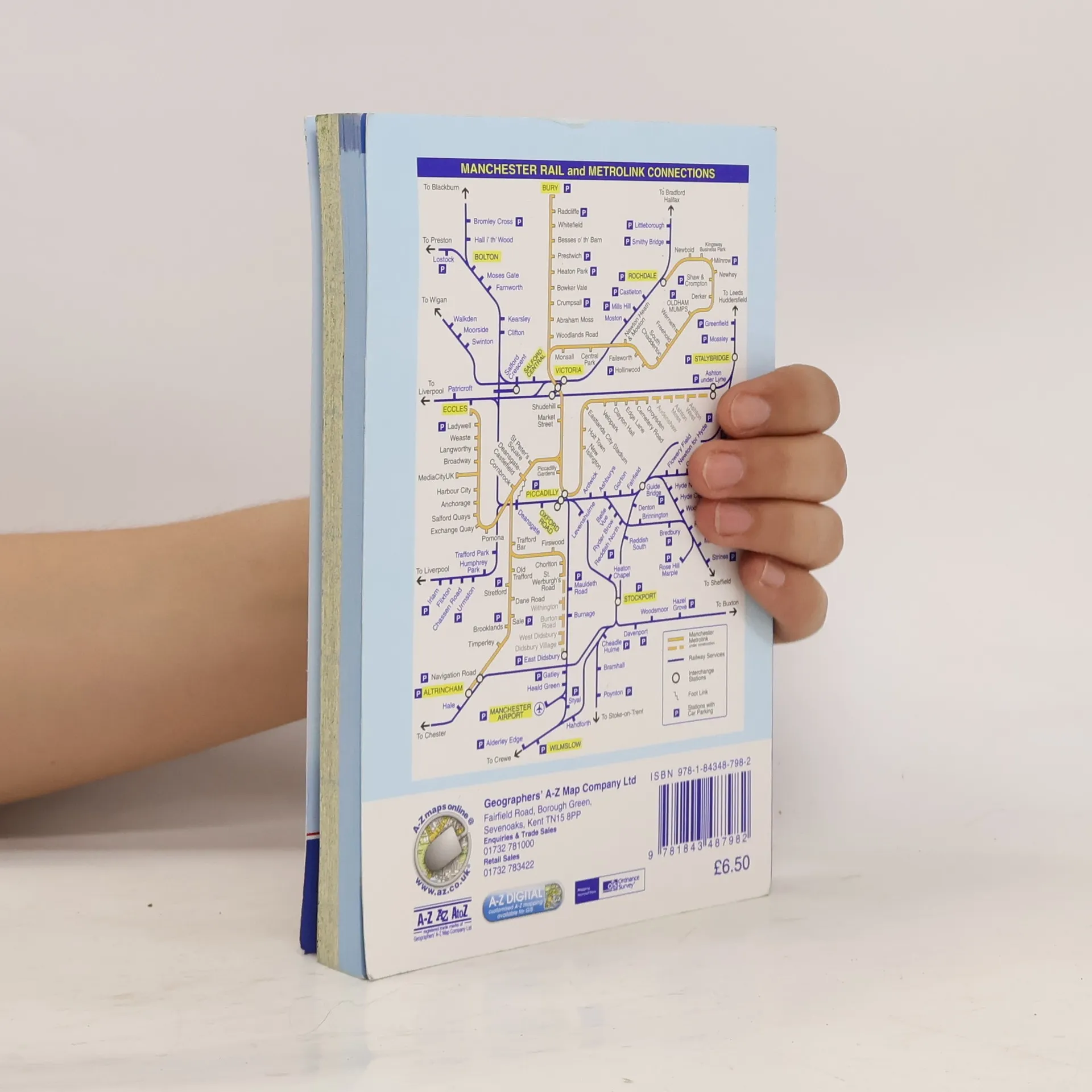
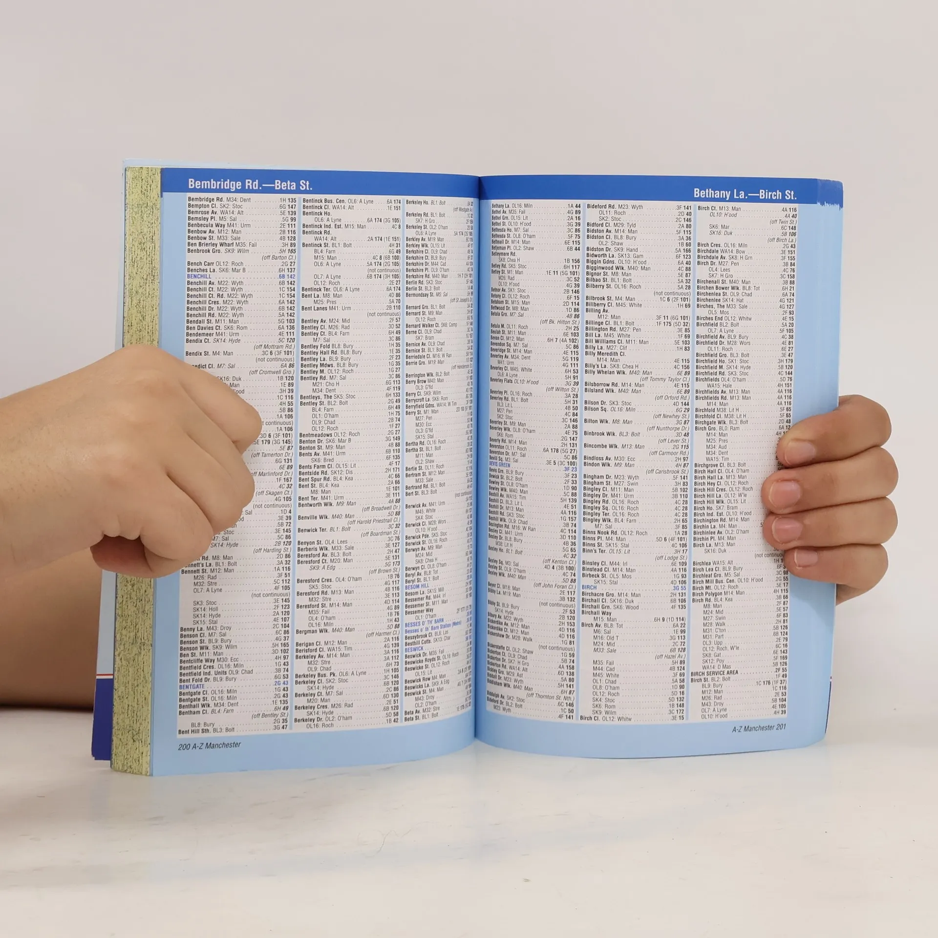
This A-Z map of Manchester includes coverage of:•Manchester•Altrincham•Ashton-under-Lyne•Bolton•Bury•Oldham•Rochdale•Salford•StockportThe paperback book includes 162 pages of continuous street mapping extending to include coverage of:•Cheadle•Heywood•Hyde•Irlam•Manchester Airport•Poynton•Prestwich•Radcliffe•Ramsbottom•Stalybridge•Swinton•Urmston•WilmslowThere are also large scale city and town centre maps of Manchester, Altrincham, Ashton-under-Lyne, Bolton, Bury, Oldham, Rochdale and Stockport and a postcode map.Postcode districts, one-way streets, safety camera locations with speed limits and National Park boundaries are also featured on the mapping.The index section lists streets; selected flats, walkways and places of interest; place and area names; National Rail and Metrolink stations. There is a separate list of hospitals, hospices and NHS Walk-in Centres covered by the atlas.An easy to follow map of the Manchester Metrolink is featured on the back cover.
Acquisto del libro
Manchester Street Atlas, AA.VV.
- Lingua

- Pubblicato
- 2011
- Rilegatura
- (In brossura)
Metodi di pagamento
Qui potrebbe esserci la tua recensione.
- Titolo
- Manchester Street Atlas
- Lingua
- Inglese
- Autori
- AA.VV.
- Editore
- Geographers' A-Z Map Co Ltd
- Pubblicato
- 2011
- Formato
- In brossura
- Pagine
- 384
- ISBN10
- 1843487985
- ISBN13
- 9781843487982
- Serie
- Categoria
- Tag
- Viaggi
- Valutazione
- 5 su 5
- Descrizione
- This A-Z map of Manchester includes coverage of:•Manchester•Altrincham•Ashton-under-Lyne•Bolton•Bury•Oldham•Rochdale•Salford•StockportThe paperback book includes 162 pages of continuous street mapping extending to include coverage of:•Cheadle•Heywood•Hyde•Irlam•Manchester Airport•Poynton•Prestwich•Radcliffe•Ramsbottom•Stalybridge•Swinton•Urmston•WilmslowThere are also large scale city and town centre maps of Manchester, Altrincham, Ashton-under-Lyne, Bolton, Bury, Oldham, Rochdale and Stockport and a postcode map.Postcode districts, one-way streets, safety camera locations with speed limits and National Park boundaries are also featured on the mapping.The index section lists streets; selected flats, walkways and places of interest; place and area names; National Rail and Metrolink stations. There is a separate list of hospitals, hospices and NHS Walk-in Centres covered by the atlas.An easy to follow map of the Manchester Metrolink is featured on the back cover.