

Esaurito
Maggiori informazioni sul libro
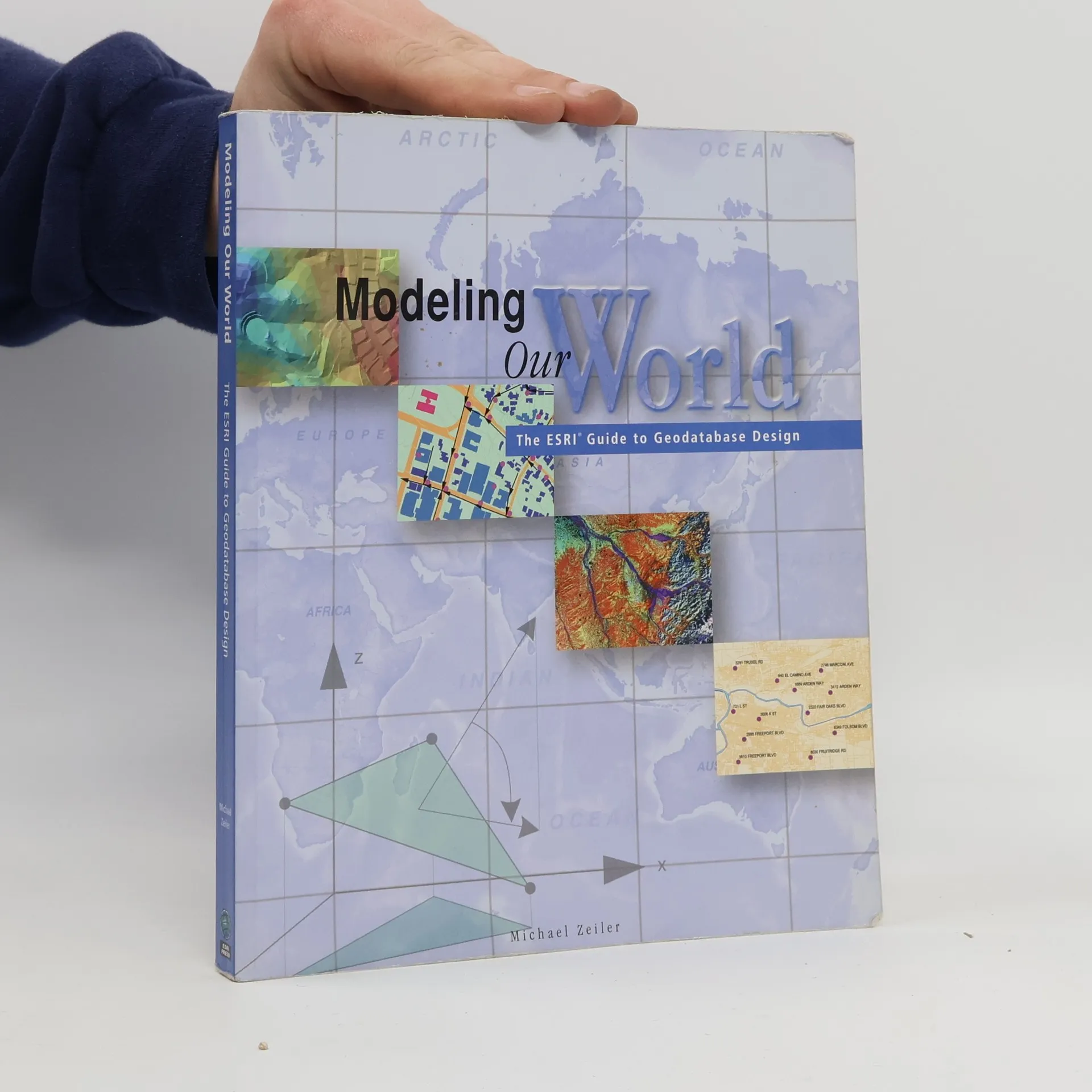
Geographic data models are digital frameworks that describe the location and characteristics of things in the world around us. With a geographic information system, we can use these models as lenses to see, interpret, and analyze the infinite complexity of our natural and man-made environments. With the geodatabase, a new geographic data model introduced with ArcInfo 8, you can extend significantly the level of detail and range of accuracy with which you can model geographic reality in a database environment.
Acquisto del libro
Modeling Our World, Michael Zeiler
- Lingua

- Pubblicato
- 1999
- Rilegatura
- (In brossura)
Ti avviseremo via email non appena lo rintracceremo.
Metodi di pagamento
Qui potrebbe esserci la tua recensione.
- Titolo
- Modeling Our World
- Sottotitolo
- The ESRI Guide to Geodatabase Design
- Lingua
- Inglese
- Autori
- Michael Zeiler
- Editore
- ESRI Press
- Pubblicato
- 1999
- Formato
- In brossura
- Pagine
- 200
- ISBN10
- 1879102625
- ISBN13
- 9781879102620
- Serie
- Categoria
- Tag
- Scienza, Tecnologia
- Valutazione
- 3,65 su 5
- Descrizione
- Geographic data models are digital frameworks that describe the location and characteristics of things in the world around us. With a geographic information system, we can use these models as lenses to see, interpret, and analyze the infinite complexity of our natural and man-made environments. With the geodatabase, a new geographic data model introduced with ArcInfo 8, you can extend significantly the level of detail and range of accuracy with which you can model geographic reality in a database environment.