
This comprehensive and practical guide to the Japanese language is an essential resource for English-speaking users, including students, teachers, businesspeople, and casual learners. It has been meticulously compiled with attention to the selection of entry words, detailed explanations, example sentences, and functional page design to enhance usability. Furigana, the small kana printed above or alongside kanji to indicate pronunciation, plays a crucial role in this dictionary. It allows beginners familiar with hiragana and katakana to read complex kanji easily. Unlike other dictionaries that may offer limited guidance on kanji readings or rely on romanization, this resource caters to modern curricula that emphasize hiragana and katakana from the outset, making it a more effective tool for learners and educators. This dictionary combines the Kodansha Furigana Japanese-English Dictionary and the English-Japanese Dictionary into one portable, user-friendly volume. It features a basic vocabulary of 30,000 entries, highlighting frequently used words and phrases relevant to English-speaking students. Semantic and usage differences are clearly explained, and thousands of example sentences illustrate practical usage. Additionally, it provides special information on verb conjugations, formality, and other essential aspects of Japanese grammar and usage.
Kodansha International Libri
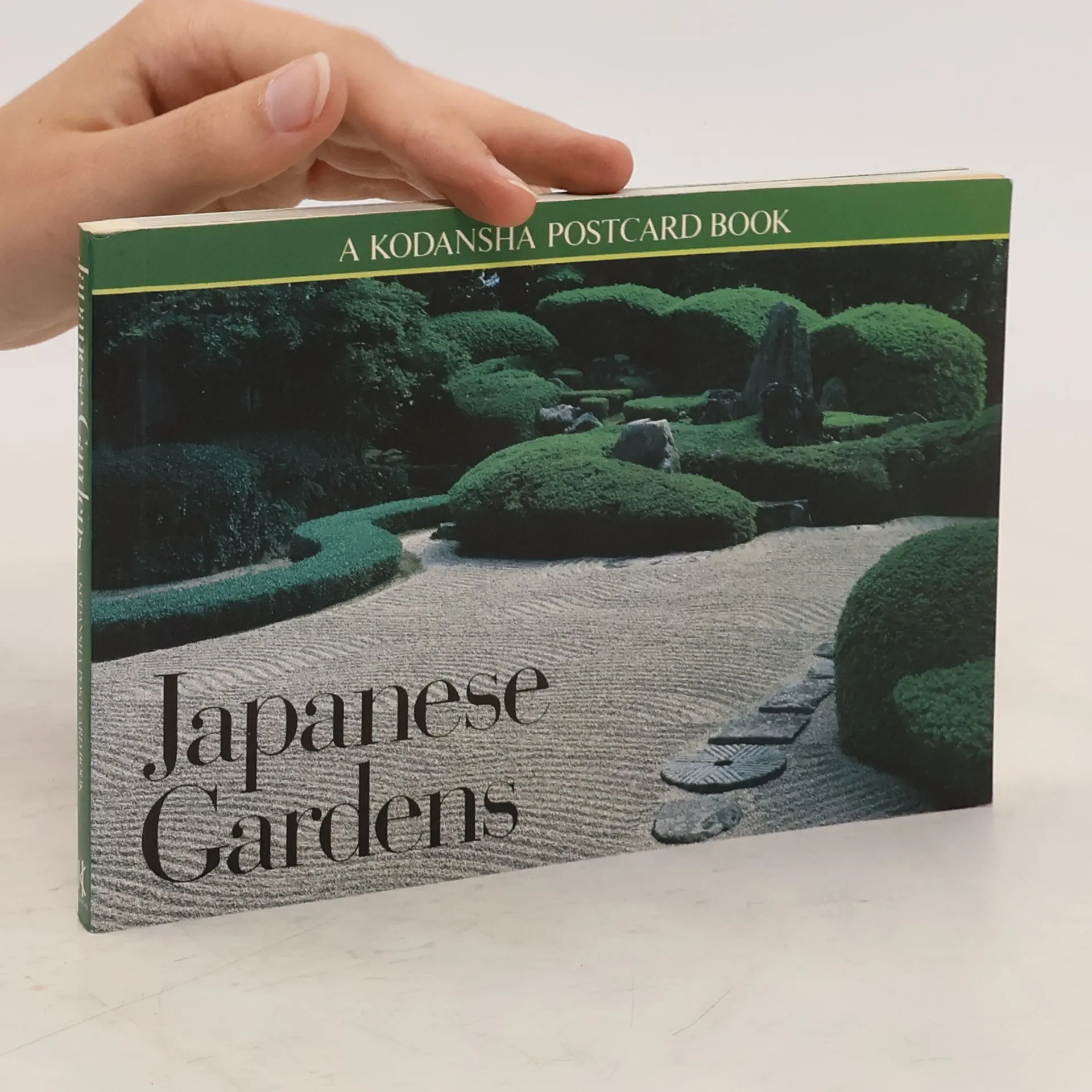

This collection features 24 large-sized, full-color postcards showing some of the most outstanding examples of Japan's renowned gardening art: the reflecting pond of Kyoto's Phoenix Pavillion, the glowing azaleas of Rikugi-en, Ryoanji's legendary rock garden, and many more tranquil and lovely scenes.