
Questo è quello che aggiungi al carrello

Parametri
- 80pagine
- 3 ore di lettura
Maggiori informazioni sul libro
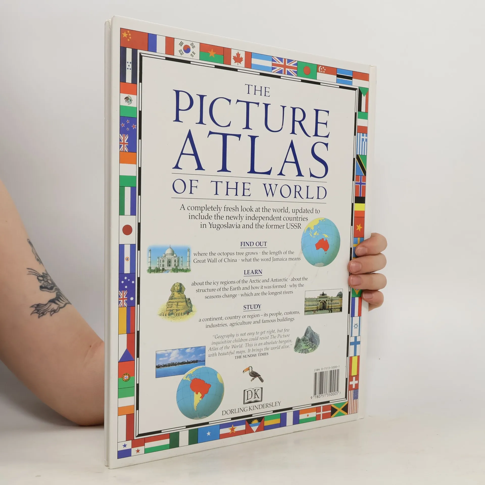
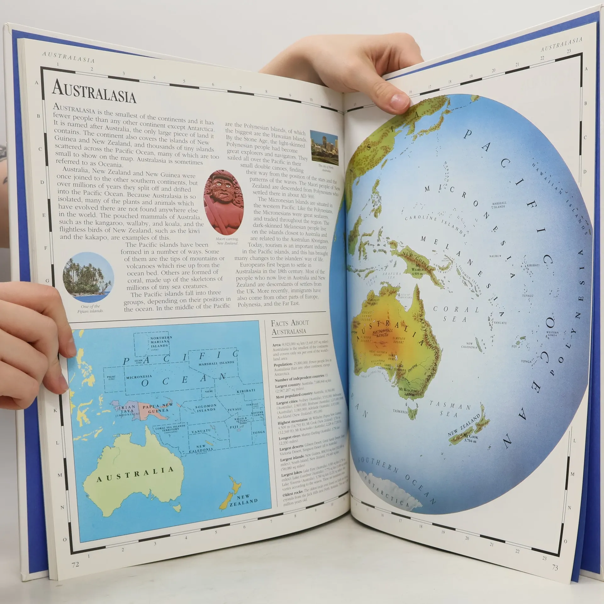
This has been prepared in consultation with cartographers to ensure accuracy. Drawn map illustrations offer a fresh view of the world and bring every continent and country to life. This book includes drawings, charts and illustrations using simple page layouts, special fact panels, boxed text and pictures on features of many different countries. The maps contain features such as landscape relief, important industries, tourist attractions, cultural features and wildlife.


Acquisto del libro
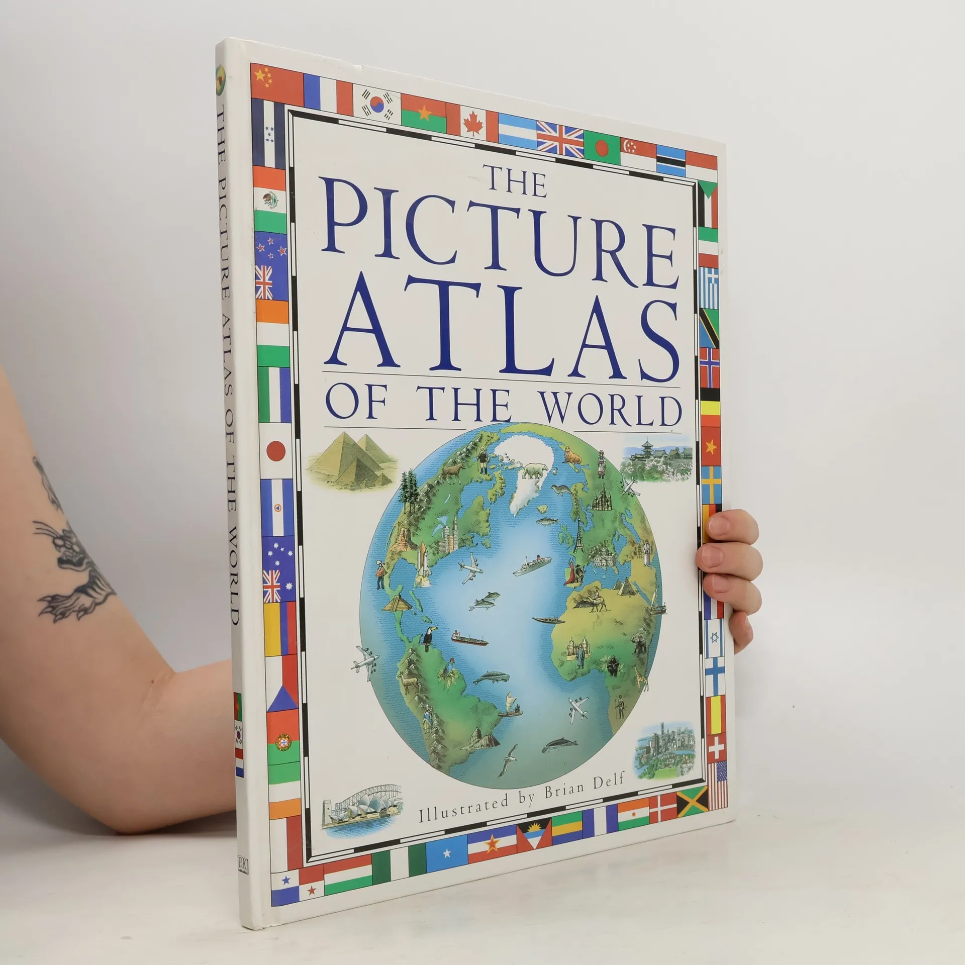
The Picture Atlas of the World, Richard Kemp
- Lingua

- Pubblicato
- 1992
- product-detail.submit-box.info.binding
- (Copertina rigida),
- Condizioni del libro
- Danneggiato
- Prezzo
- 2,60 €
Metodi di pagamento
Qui potrebbe esserci la tua recensione.