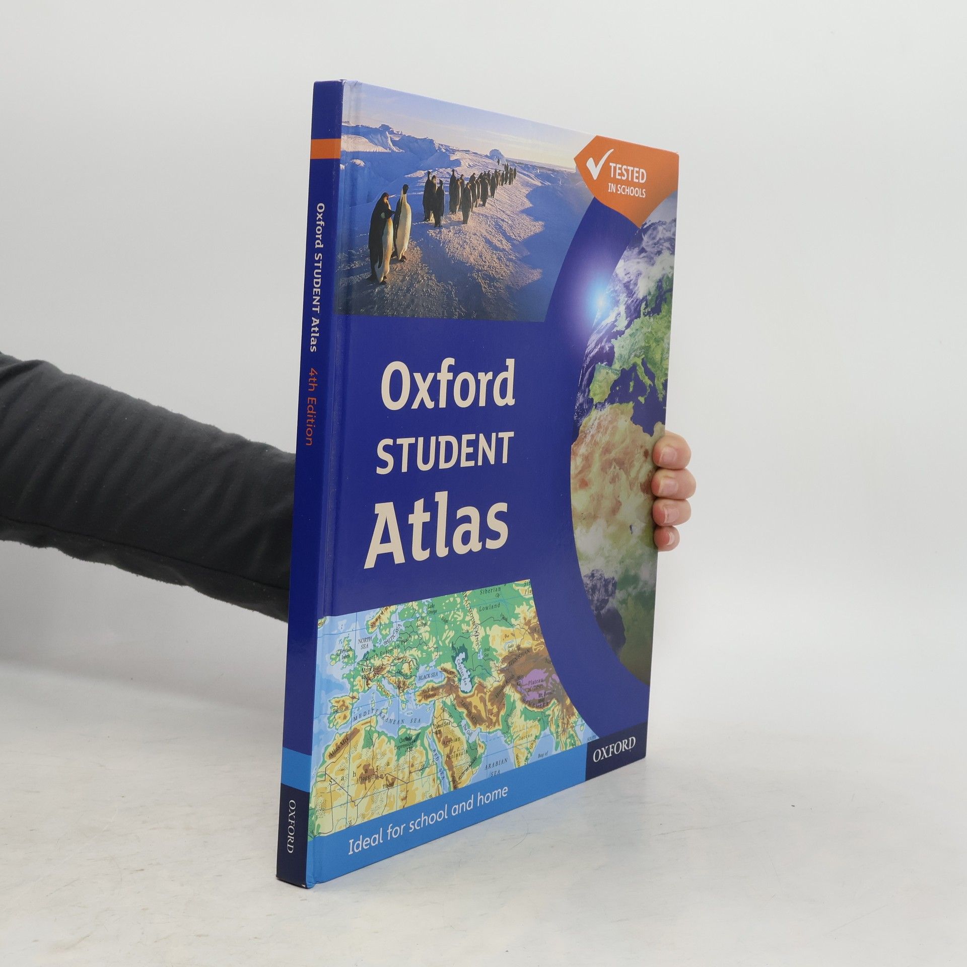
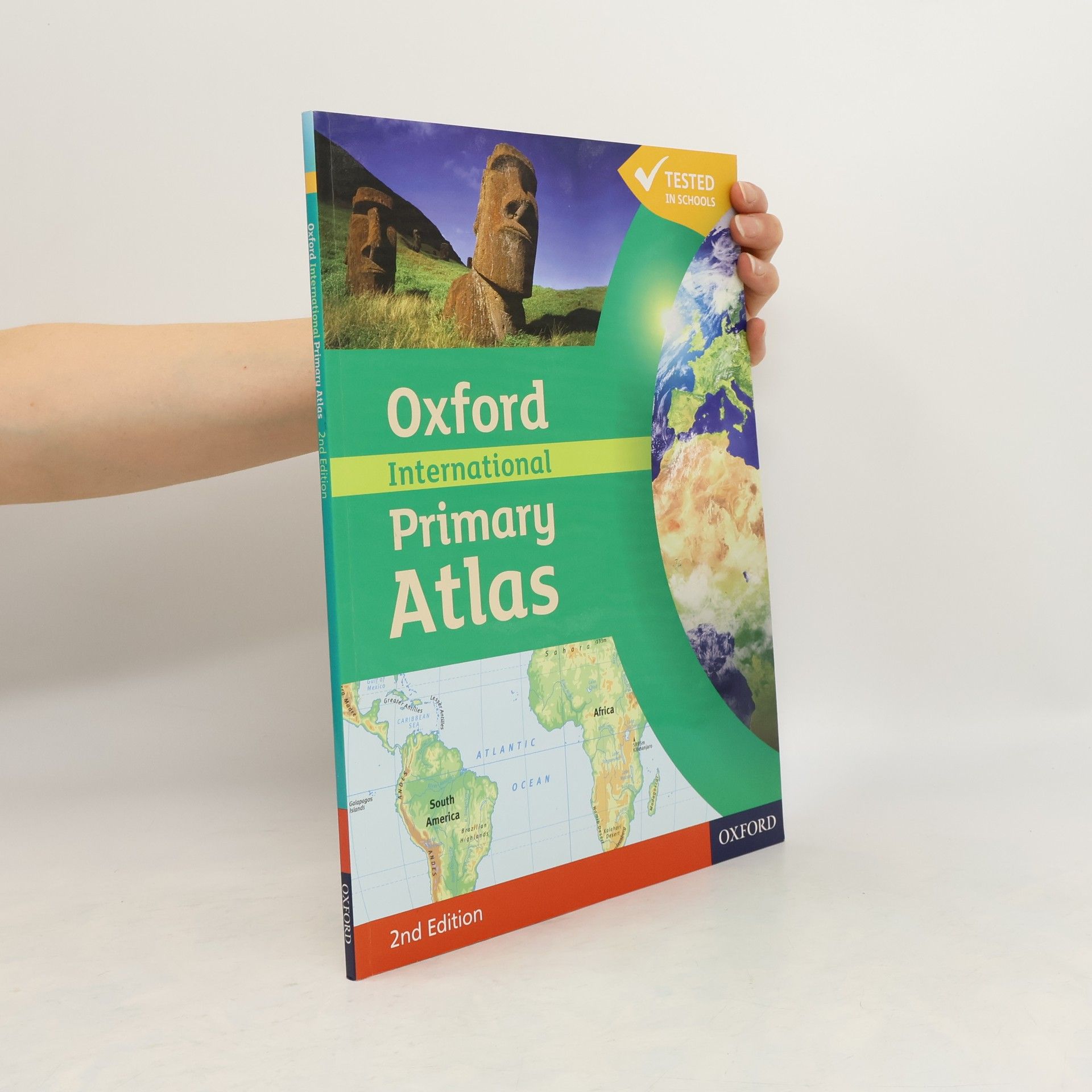
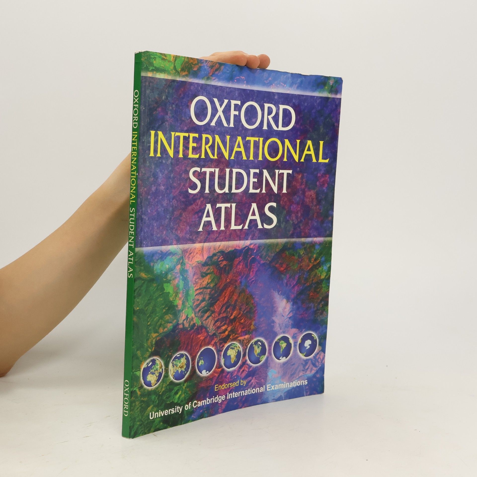
Oxford School Atlas
- 96pagine
- 4 ore di lettura
The most engaging reference atlas for ages 10-14.
The Oxford International Primary Atlas is a clear, bright and informative atlas for all 7-11 year olds. It is a completely new, up-to-date atlas with accurate, easy-to-read and colourful mapping, presented in a tidy visual layout based on evidence for children's thinking with maps. It hasselected topographic content for areas with significant overseas and English language teaching (eg. Europe, Malta, Cyprus, Middle East, Malaysia, Hong Kong). World maps specially designed to include key curriculum themes such as mountains, water, settlements, connections, and environments. Itincorporates easy-to-use features including innovative grid codes to help children find places listed in the index, many colourful photographs to aid children's understanding of map symbols, attractive artwork to provide a 'sense of place', and stimulating graphics to make large numbers easy tounderstand. The exciting new content includes map literacy and numeracy, country data files, and flags of the world at a usable size.
The Oxford Infant Atlas is a bright and colourful artwork style atlas for all 4-7 year olds. The content reflects the requirements of the National Curriculum at Key Stage 1 and incorporates colourful maps specially drawn for young children as well as making use of stunning satellite images. There is an extended section on the United Kingdom and larger maps of Europe. The Index lists all the place names which children must know at Key Stage 1.
The Oxford Very First Atlas Activity Book develops the atlas skills and reinforces the concepts introduced in the Oxford Very First Atlas , such as the 'Earth in space', the world, continents, countries and the British Isles. The Activity Book enables children to create their own personalised maps identifying countries and places that they know, and new places that they are learning about. Assessment for Learning support throughout the Activity Book enables teachers and parents to monitor their progress. Also available accompanying the Oxford Very First Atlas : Activity Book, Teacher's Handbook, and Interactive CD-ROM.
Prepared for those students working within Levels 1, 2, and 3 of the National Curriculum across the year groups, this atlas combines satellite imagery with artwork as an introduction to maps. It includes the place name knowledge required for the early levels of the National Curriculum, and maps of the World, Europe, and the British Isles.
The Oxford First Atlas Activity Book develops the atlas skills and reinforces the concepts introduced in the Oxford First Atlas. The Activity Book offers maps and activities to encourage pupils to work independently and to practice and develop their knowledge and understanding of the topics and themes covered in the atlas.
The most engaging 14-18 atlas, now updated and even better.
This accessible fill-in skills workbook has been updated to support the Oxford International Student's Atlas - the most engaging 11-18 atlas, now updated and even better.
The Oxford International Student Atlas uses the latest technology to create an accurate and up-to-date atlas, ideal for use around the world. Comprehensive coverage of the countries and oceans of the world, together with an eight-page world statistical section Clear and colourful continental thematic maps illustrating a variety of subjects New maps on motivating topics such as cyberspace, globalisation, international alliances, and the world's most exciting holiday destinations make the atlas an ideal resource for young geographers Easy-to-use features include a multi-access contents page, a two-colour index of place names, and flags of the world at a usable size