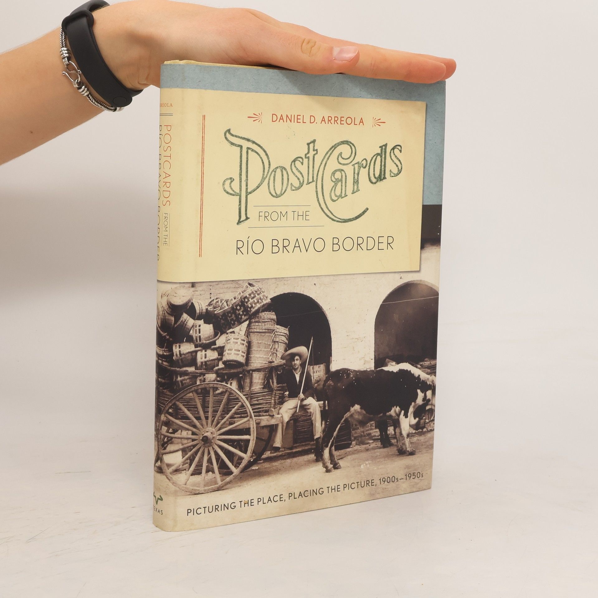
Postcards from the Río Bravo Border
- 258pagine
- 10 ore di lettura
Between 1900 and the late 1950s, Mexican border towns evolved into popular tourist destinations and burgeoning cities. Commercial photographers captured thousands of images of their streets, plazas, and attractions, which were then transformed into photo postcards. Daniel Arreola has compiled one of the largest collections of these postcards, utilizing this visual archive to offer insights into the growth and transformation of these border towns during the early twentieth century, as well as their portrayal to attract American tourists. This work presents nearly two hundred images from five significant towns along the lower Río Bravo: Matamoros, Reynosa, Nuevo Laredo, Piedras Negras, and Villa Acuña. By examining multiple images from each city, Arreola highlights changes in both the urban landscape and the representation of these places for tourist consumption. He argues that visual imagery significantly influences our perceptions and understanding of locations, creating a narrative around them. Additionally, Arreola demonstrates that systematically arranged postcard images can reveal how perceptions of Mexican border towns have evolved over time. This innovative approach illustrates that historical imagery, much like text or maps, can effectively narrate a compelling geographical story.
