Rand McNally's folded map for West Virginia is a must-have for anyone traveling in or through the state, offering unbeatable accuracy and reliability at a great price. Our trusted cartography shows all Interstate, U.S., state, and county highways and much more. -Points of interest. -State park chart. -State mileage chart. -Driving times map. -On-the-road toolbox. -Visitor center information. -Climate data. -State facts & symbols. -Easy-to-use legend. -Detailed indexed. Coverage Area: Detailed maps include Beckley, Charleston, Clarksburg, Fairmont, Huntington, Morgantown, Parkersburg, Wheeling. Product Details: Measures 9.0 x 4.125 and folds out to 25.5 x 36.75.
Rand Mcnally Libri


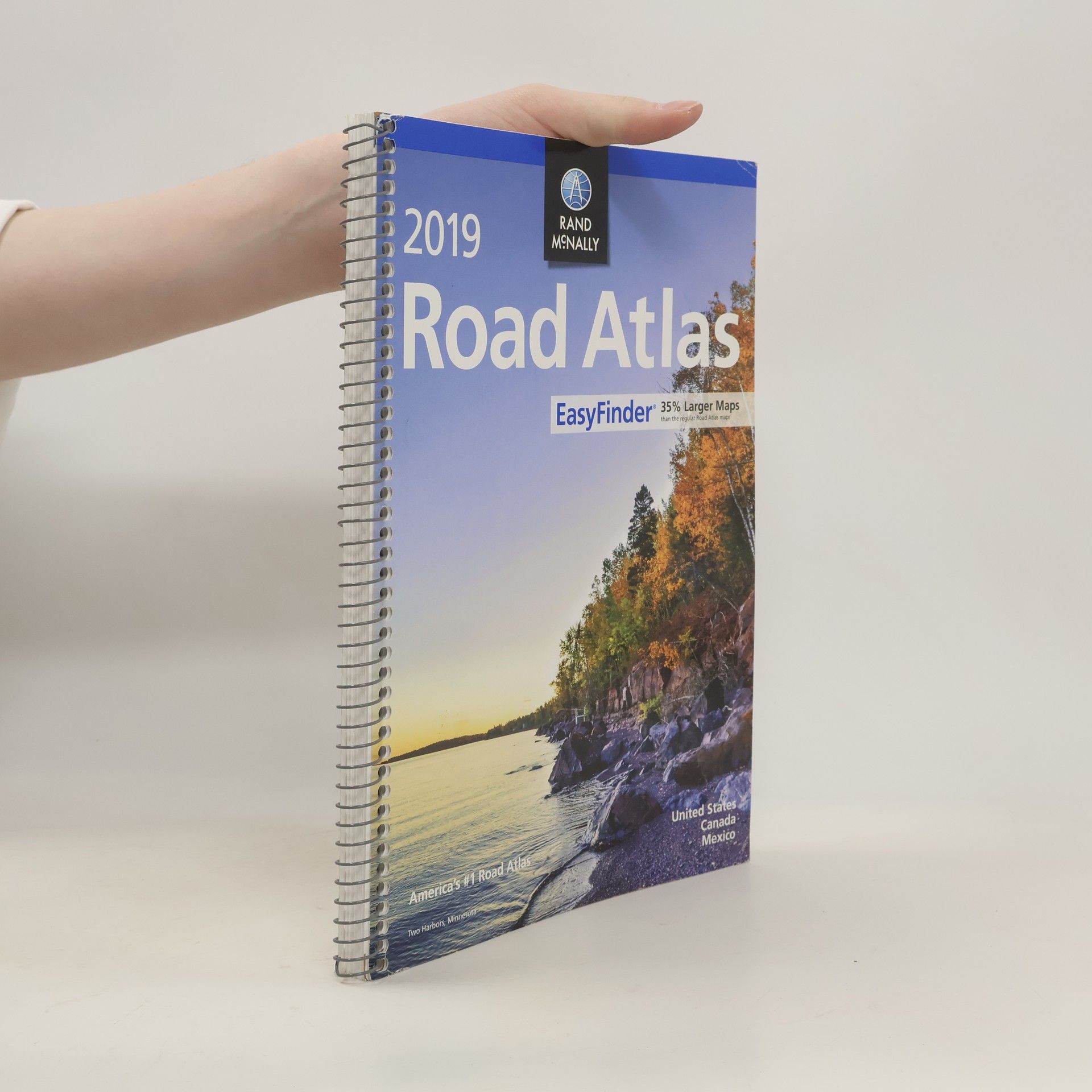
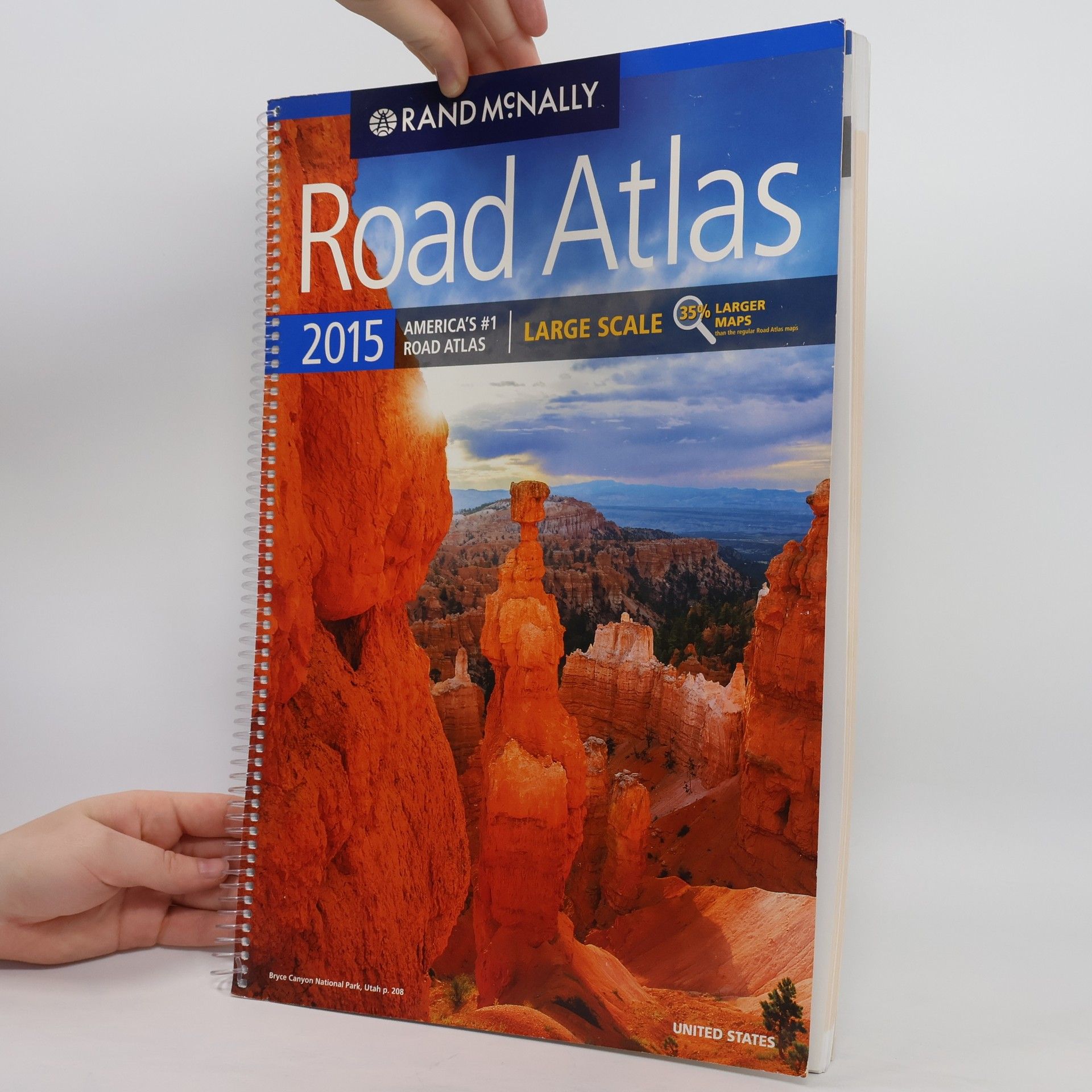
This updated North American atlas contains maps of every U.S. state and Canadian province, an overview map of Mexico, plus detailed maps of over 50 North American cities, all conveniently packaged for travel. Contains mileage chart showing distances between 77 cities and national parks with driving times map. Spiral binding allows the book to lay open easily.
Delorme Atlas & Gazetteer: Iowa
- 64pagine
- 3 ore di lettura
The first choice of outdoors enthusiasts. Beautiful, detailed, large-format maps of every state. Perfect for home and office reference, and a must for all your vehicles. Gazetteer information may include: campgrounds, attractions, historic sites & museums, recreation areas, trails, freshwater fishing site & boat launches, canoe trips or scenic drives. Categories vary by state
With an incredible wealth of detail, DeLorme's Atlas & Gazetteer is the perfect companion for exploring North Carolina. Extensively indexed, full-color topographic maps provide information on everything from cities and towns to historic sites, scenic drives, buttes, ranches, trailheads, boat ramps and even prime fishing spots. Conveniently bound in book form, the Atlas & Gazetteer is your most comprehensive guide to North Carolina's backcountry. - Full-color topographic maps provide information on everything from cities and towns to historic sites, scenic drives, recreation areas, trailheads, boat ramps and prime fishing spots. - Extensively indexed. - Handy latitude/longitude overlay grid for each map allows you to navigate with GPS. - Inset maps provided for major cities as well as all state lands. Product Details: Dimensions: 15.5 x 11. Available for all 50 States!
Rand McNally: The Ultimate Map It!(tm) Seek & Find Atlas of Brainy Challenges
- 128pagine
- 5 ore di lettura
Engaging with 48 seek and find puzzles, this interactive atlas invites readers to explore geography in a fun way. Each challenge is paired with detailed sections of America's top road atlas, incorporating clever clues and witty editorial content to enhance the learning experience. The book includes a comprehensive map legend and key for identifying locations, with solutions conveniently located at the back. Perfect for sparking curiosity in geography, it combines entertainment with education in a vibrant format.
With an incredible wealth of detail, DeLorme's Atlas & Gazetteer is the perfect companion for exploring Pennsylvania. Extensively indexed, full-color topographic maps provide information on everything from cities and towns to historic sites, scenic drives, buttes, ranches, trailheads, boat ramps and even prime fishing spots. Conveniently bound in book form, the Atlas & Gazetteer is your most comprehensive guide to Pennsylvania's backcountry. Full-color topographic maps provide information on everything from cities and towns to historic. sites, scenic drives, recreation areas, trailheads, boat ramps and prime fishing spots. Extensively indexed. Handy latitude/longitude overlay grid for each map allows you to navigate with GPS. Inset maps provided for major cities as well as all state lands. Product Details: Pennsylvania State Dimensions: 15.5" x 11" AVAILABLE FOR ALL 50 STATES!
Rand McNally's folded map for New York City 5 Boroughs: Manhattan/Bronx/Brooklyn/Queens/Staten Island is a must-have for anyone traveling in and around this part of New York, offering unbeatable accuracy and reliability at a great price. Our trusted cartography shows all Interstate, U.S., state, and county highways, along with clearly indicated parks, points of interest, airports, county boundaries, and streets. The easy-to-use legend and detailed index make for quick and easy location of destinations. You'll see why Rand McNally folded maps have been the trusted standard for years. - Regularly updated. - Full-color maps. - Clearly labeled Interstate, U.S., state, and county highways. - Indications of parks, points of interest, airports, county boundaries, shopping malls, downtown & vicinity maps. - Enlargements of Manhattan, John F. Kennedy International Airport, Newark Airport and New York City vicinity map. - Easy-to-use legend. - Detailed index & full street index. - Convenient folded size. Coverage Area Communities Included: Bronx, Brooklyn, Manhattan, Queens, Staten Island. Product Details: Measures 9.5' x 4' and folds out to 40' x 28'.
With an incredible wealth of detail, DeLorme's Atlas & Gazetteer is the perfect companion for exploring the Alaska outdoors. Extensively indexed, full-color topographic maps provide information on everything from cities and towns to historic sites, scenic drives, trailheads, boat ramps and even prime fishing spots. Conveniently bound in book form, the Atlas & Gazetteer is your most comprehensive guide to Alaska's backcountry. - Full-color topographic maps provide information on everything from cities and towns to historic sites, scenic drives, recreation areas, trailheads, boat ramps and prime fishing spots. - Extensively indexed. - Handy latitude/longitude overlay grid for each map allows you to navigate with GPS. - Street maps included for Anchorage, Fairbanks, and Juneau. Product Details: Dimensions: 15.5 x 11. Available for all 50 States!
A comprehensive road atlas which includes United States, Canada, and Mexico.
This atlas showcases significant periods and turning points in 5,000 years of history through over 100 thematic maps. It covers diverse topics such as literacy, languages, and religions, providing a visual representation of historical trends. Additionally, the book includes a section outlining the benefits of utilizing this atlas for educational purposes. With its colorful and bold maps, this resource serves as an engaging tool for understanding the complexities of world history.
