10 libri per 10 euro qui
Bookbot

Andrew McCluggage

    Trekking the Hadrian's Wall Path (National Trail Guidebook with OS 1:25k maps)
    Walkers's Haute Route: Chamonix to Zermatt
    Trekking the South Downs Way
    Trekking the Corsica GR20 - Two-Way Trekking Guide - Real IGN Maps 1:25,000
    Trekking the Dolomites AV1
    The Mourne Mountains
    • These 30 epic walks in Northern Ireland's highest mountains have been handpicked and clearly written by a local walker with decades of experience. This is the only guidebook for the Mourne Mountains with REAL OSNI 1:25000 maps.

      The Mourne Mountains
    • This is only guidebook exclusively for the AV1 and contains everything needed plan and walk Italy's most popular long-distance route. The guidebook contains real maps - Tabacco 1:25,000 - the finest maps available for the Dolomites, thus making navigation easy with no need to carry additional maps.

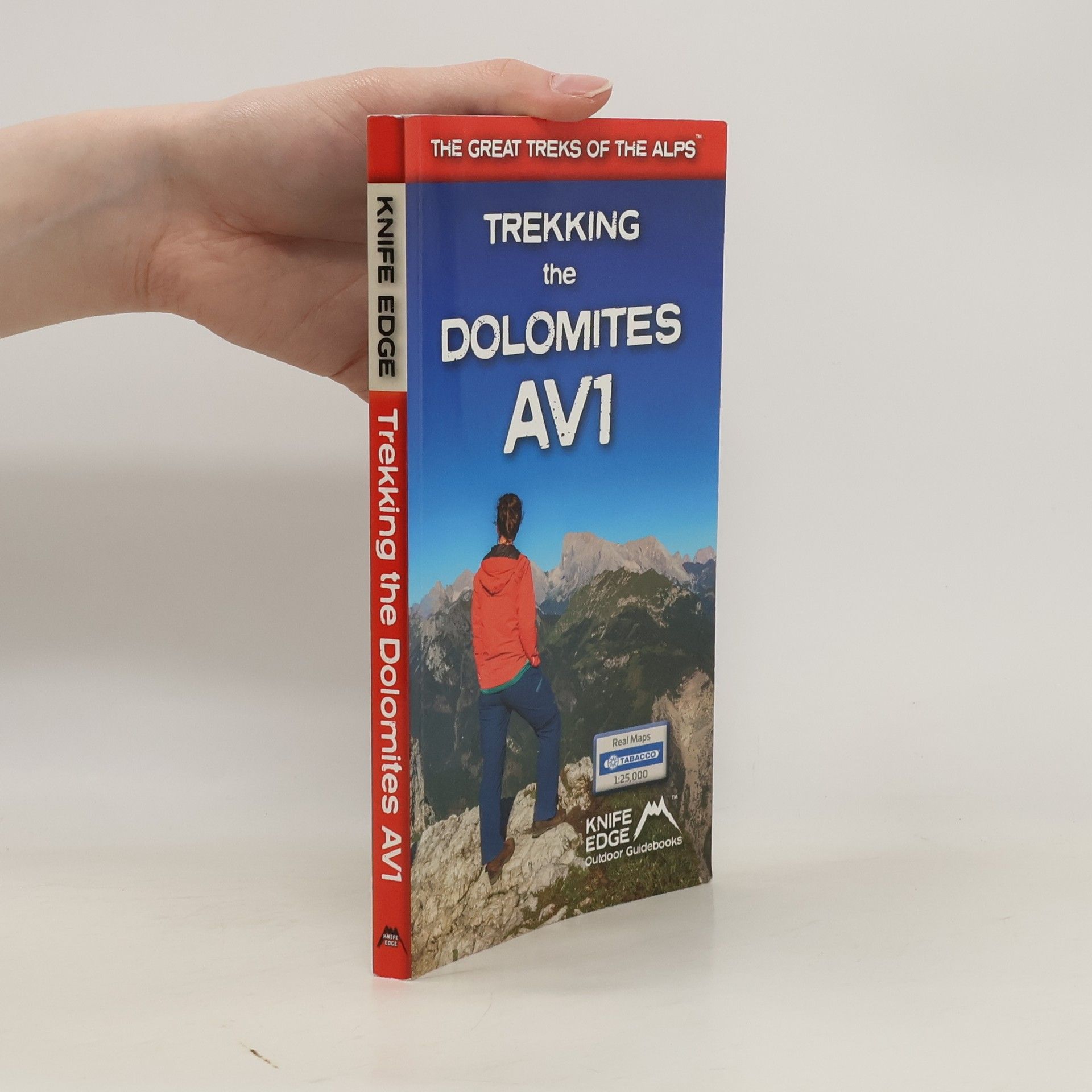
      Trekking the Dolomites AV1
    • Definitive two-way guide to the South Downs Way with westbound and eastbound routes described in full. Contains full Ordnance Survey Explorer mapping inside (1:25,000) and has 18 different itineraries for walkers and runners. Difficult calculations of time, distance and altitude gain are done for you.

      Trekking the South Downs Way
    • Discover Northern Ireland's wild mountains, epic cliffs, spectacular beaches and stunning moorland in this, the definitive guidebook for walking in Northern Ireland, It contains 35 epic walks, hand-picked by a Country Down local, including the Causeway Coast, the Glens of Antrim, the Mourne Mountains, the Sperrin Mountains and much more.

      Northern Ireland
    • Walking in the Brianconnais

      • 240pagine
      • 9 ore di lettura

      Guidebook of 40 walks around Briancon in France. Walks for all abilities ranging from 11/2 to 7hrs. The book focuses on the stunning valleys of Claree, Cerveyrette, Ayes, Durance and Guisane, and includes the magnificent Alpine landscapes around Vallouise and Montgenevre.

      Walking in the Brianconnais
    • A walking guidebook for the Tour of the Ecrins National Park (GR54) one of the most stunning regions of the French Alps. This trek takes between 9 and 12 days

      The Tour of the Ecrins National Park
    • Walking Brittany

      • 136pagine
      • 5 ore di lettura

      Brittany's coastline has 3,000 km of sea frontage - plenty of spectacular and seemingly endless cliffs, remote rocky headlands and peninsulas and innumerable white sand beaches The guidebook includes Real IGN maps (1:25,000), numbered waypoints linking the Real maps to the book's clear descriptions and graded routes to suit all abilities.

      Walking Brittany