Carriera
Chi siamo
Contatti
Cerca un libro, un autore o una categoria...
Vendi libri
Narrativa
Gialli e Thriller
Tutti i Gialli e Thriller
Gialli storici
Gialli classici
Thriller
Thriller psicologici
Noir nordici
Romanzi di spionaggio
Cozy Crime
Fantasy
Tutti i Fantasy
Fantasy epica
Fantasy storica
Fantasy eroica
Fantasy umoristica
Urban fantasy
Vampiri
Fantasy per bambini
Horror
Tutti gli Horror
Horror gotico
Horror paranormale
Horror cosmico
Racconti horror
Fumetti horror
Fumetti e Manga
Tutti i Fumetti e Manga
Fumetti di supereroi
Fumetti horror
Fumetti umoristici
Fumetti alternativi
Fumetti per bambini
Manga
Romance
Tutti i Romance
Romance storiche
Romance contemporanee
Commedie romantiche
Romance thriller
Romance LGBTQ+
Romantasy
Fantascienza
Tutta la Fantascienza
Hard Sci-Fi
Fantascienza umoristica
Space Opera
Distopia
Postapocalittico
Cyberpunk
Steampunk
Young Adult
Tutti i Young Adult
Young Adult fantasy
Young Adult romance
Romantasy
Altro
Romanzi storici
Classici
Favole, miti e leggende
Poesia
Romanzi sociali
Saggistica
Business e Management
Economia
Investimenti e Speculazioni
Management e HR
Marketing e Vendite
Finanza e Contabilità
Hobby
Casa e Arredamento
Animali e allevamento
Pesca
Artigianato
Antiquariato e Collezionismo
Cucito e Tessile
Videogiochi
Giardinaggio
Mappe e Viaggi
Narrativa di viaggio
Mappe e Atlanti
Guide turistiche
Geografia e topografia
Medicina
Tutta la Medicina
Medicina alternativa
Stile di vita sano
Crescita personale
Maternità e genitorialità
Meditazione
Relazioni interpersonali
Relazioni di coppia
Imprenditoria
Crescita personale
Scienze sociali
Antropologia
Filosofia
Lingue
Scienze letterarie
Educazione e formazione
Scienze politiche e politica
Diritto
Psicologia
Sociologia
Tecnologia e Industria
Automotive
Elettronica
Computer, IT e programmazione
Edilizia e Ingegneria
Forze armate
Agricoltura
Arte e Cultura
Architettura e urbanistica
Design
Teatro e Danza
Cinema
Fotografia
Musica
Pittura e Scultura
Moda
Teoria e Storia dell'arte
Scienza e Matematica
Astronomia e spazio
Biologia
Chimica
Ecologia
Fisica
Geologia e Mineralogia
Matematica
Teoria e Storia della scienza
Altro
Fitness e Allenamento
Libri di cucina
Sport
Alimentazione e Diete
Libri di testo
Storie vere
Storie vere
Narrativa di viaggio
Storia
Giornalismo e Saggi
Reportage letterario
Interviste
True crime
Misteri e complotti
Biografie
Libri per bambini
Per i più piccoli
Giochi e Attività
Libri cartonati
Libri illustrati
Libri da colorare
Filastrocche e Canzoncine
Prime letture
Per i più grandi
Fumetti per bambini
Gialli per bambini
Fantasy per bambini
Libri educativi per bambini
Per bambini 8-12 anni
Fiabe
Letteratura spirituale
Letteratura religiosa
Buddhismo
Induismo
Islam
Ebraismo
Cristianesimo
Taoismo
Esoterismo
Astrologia
Crescita spirituale
Occultismo e Stregoneria
Divinazione
Interpretazione dei sogni
Tutti i libri
Friedrich Bender
Friedrich Bender
Libri
Opere dell'autore
Ordine dei libri (cronologico)
Angewandte Geowissenschaften 1
628
pagine
22
ore di lettura
Avvisami
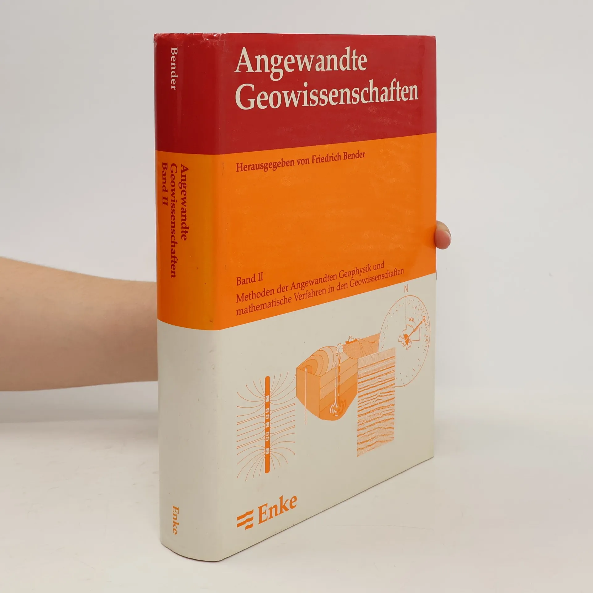
Angewandte Geowissenschaften. Bd. 2
766
pagine
27
ore di lettura
Avvisami