
Esaurito
Maggiori informazioni sul libro
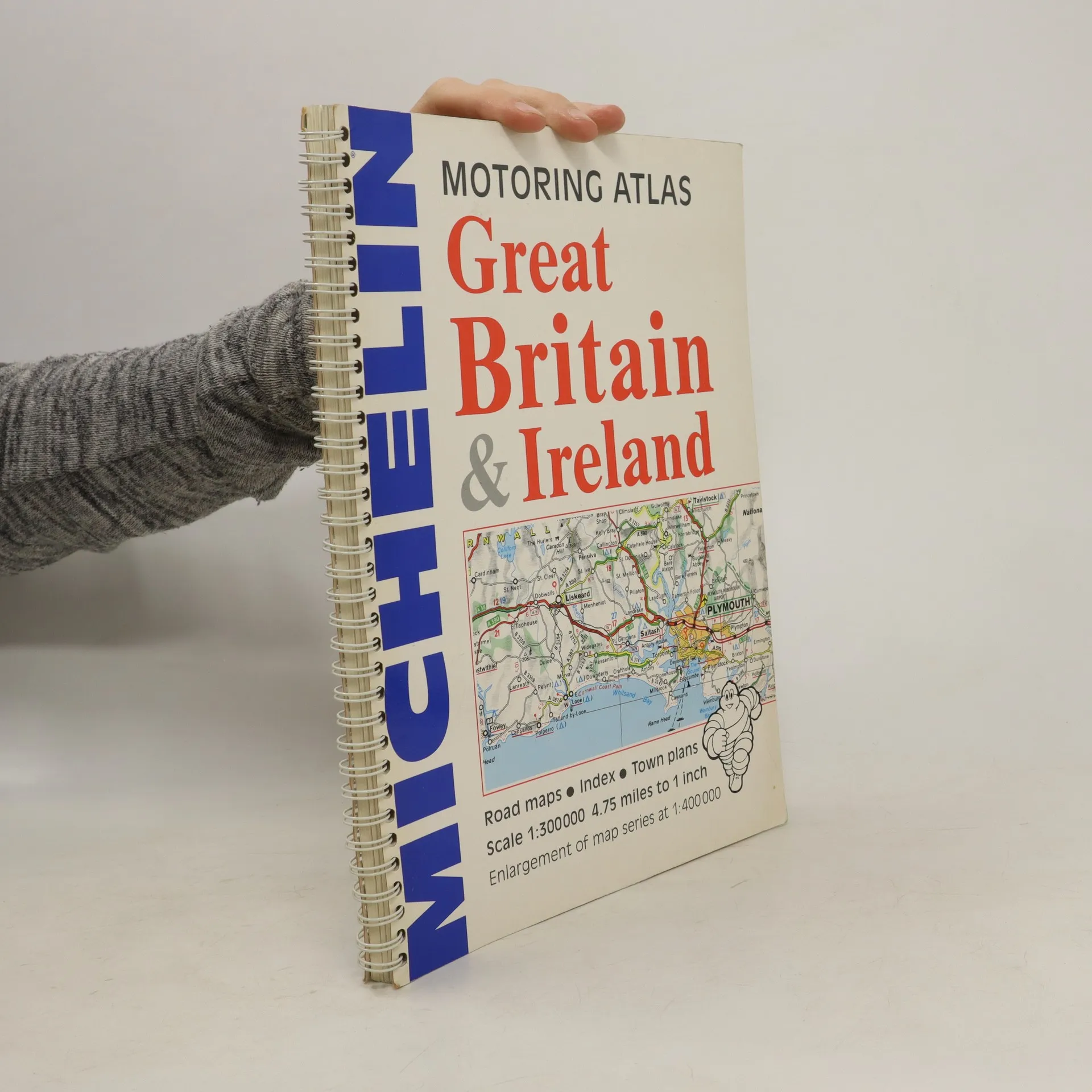
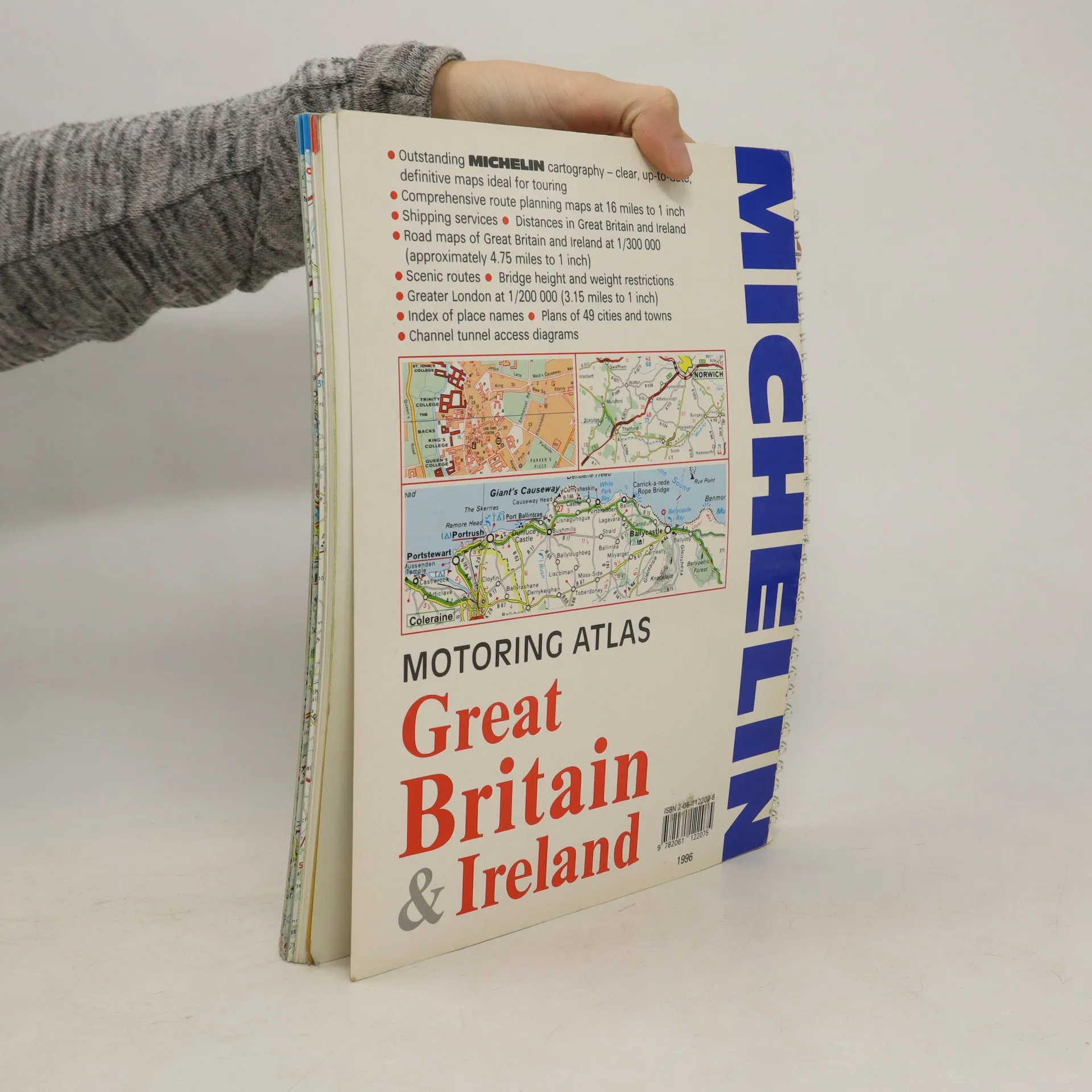
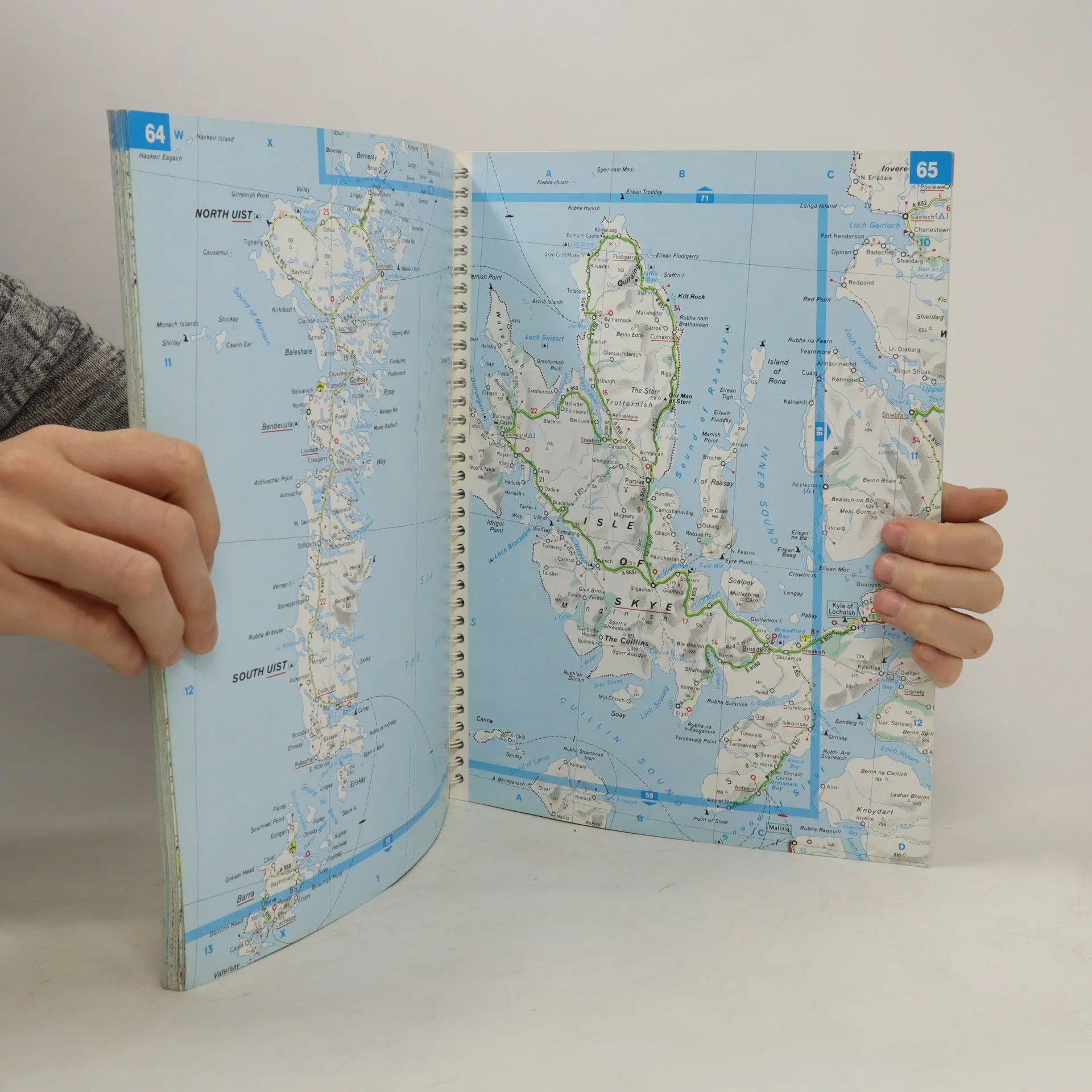
A motoring atlas of Great Britain and Ireland, with cartography at a scale of 1:300,000. Scenic routes are indicated, and other features include shipping services, distances, bridge height and weight restrictions, 49 city and town plans, and Channel Tunnel access diagrams.
Acquisto del libro
Motoring Atlas Great Britain & Ireland, AA.VV.
- Lingua

- Pubblicato
- 1996
- product-detail.submit-box.info.binding
- (Spirale)
Ti avviseremo via email non appena lo rintracceremo.
Metodi di pagamento
Qui potrebbe esserci la tua recensione.
- Titolo
- Motoring Atlas Great Britain & Ireland
- Lingua
- Inglese
- Autori
- AA.VV.
- Editore
- Michelin Travel Publications
- Pubblicato
- 1996
- Formato
- Spirale
- Pagine
- 147
- ISBN10
- 2061122078
- ISBN13
- 9782061122075
- Serie
- Valutazione
- 3 su 5
- Descrizione
- A motoring atlas of Great Britain and Ireland, with cartography at a scale of 1:300,000. Scenic routes are indicated, and other features include shipping services, distances, bridge height and weight restrictions, 49 city and town plans, and Channel Tunnel access diagrams.