
Esaurito
The complete road atlas of Ireland = an tsuirbhéireacht ordanáis atlas bóithre na hÉireann eolai don tiománaí.
Autori
- AA.VV.
Valutazione del libro
Maggiori informazioni sul libro
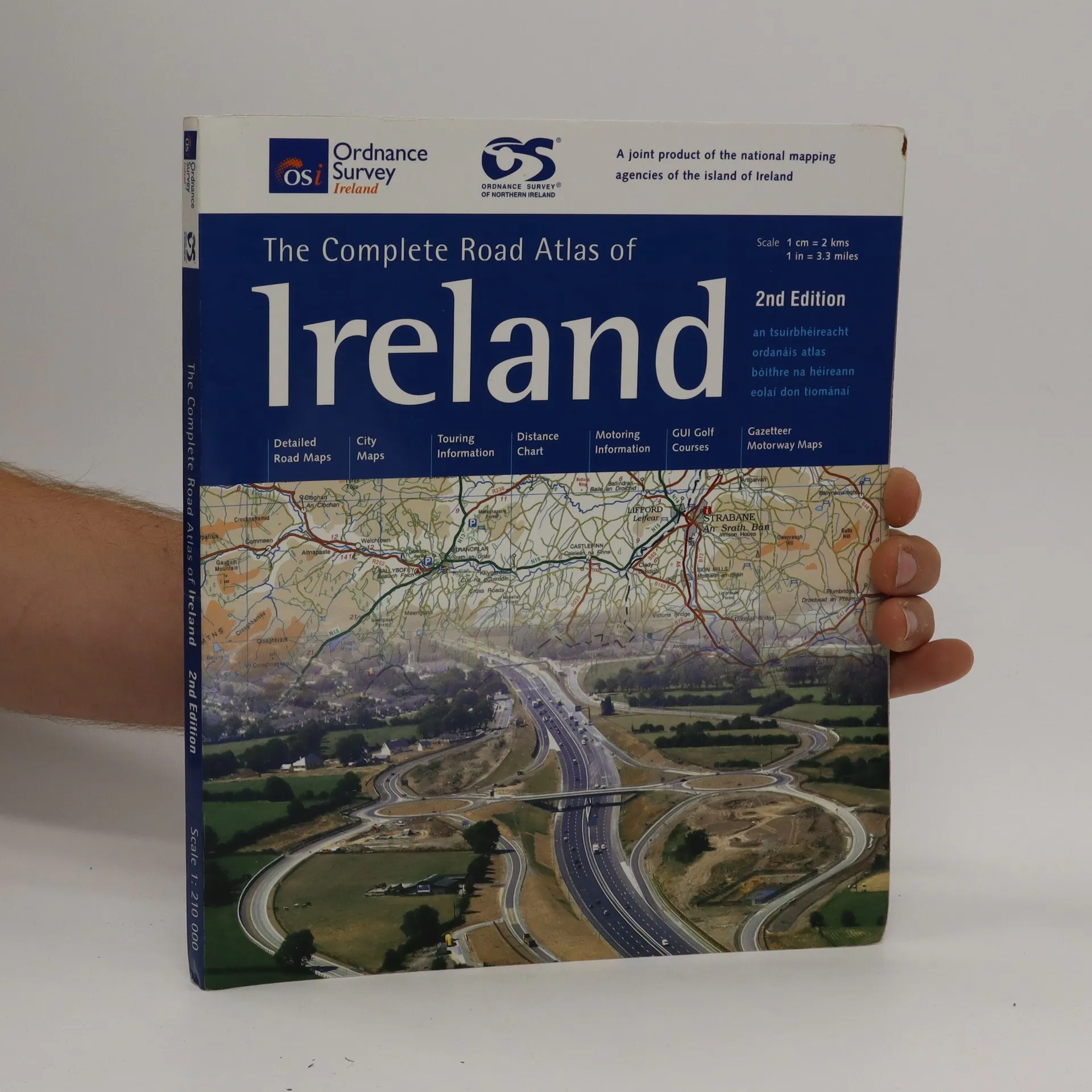
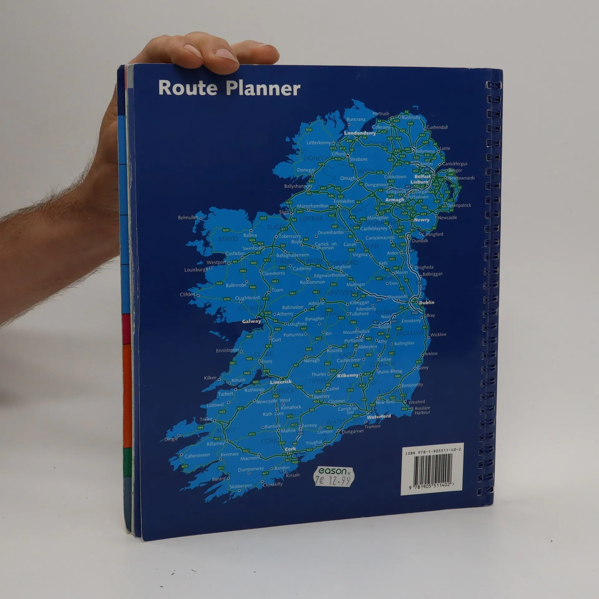
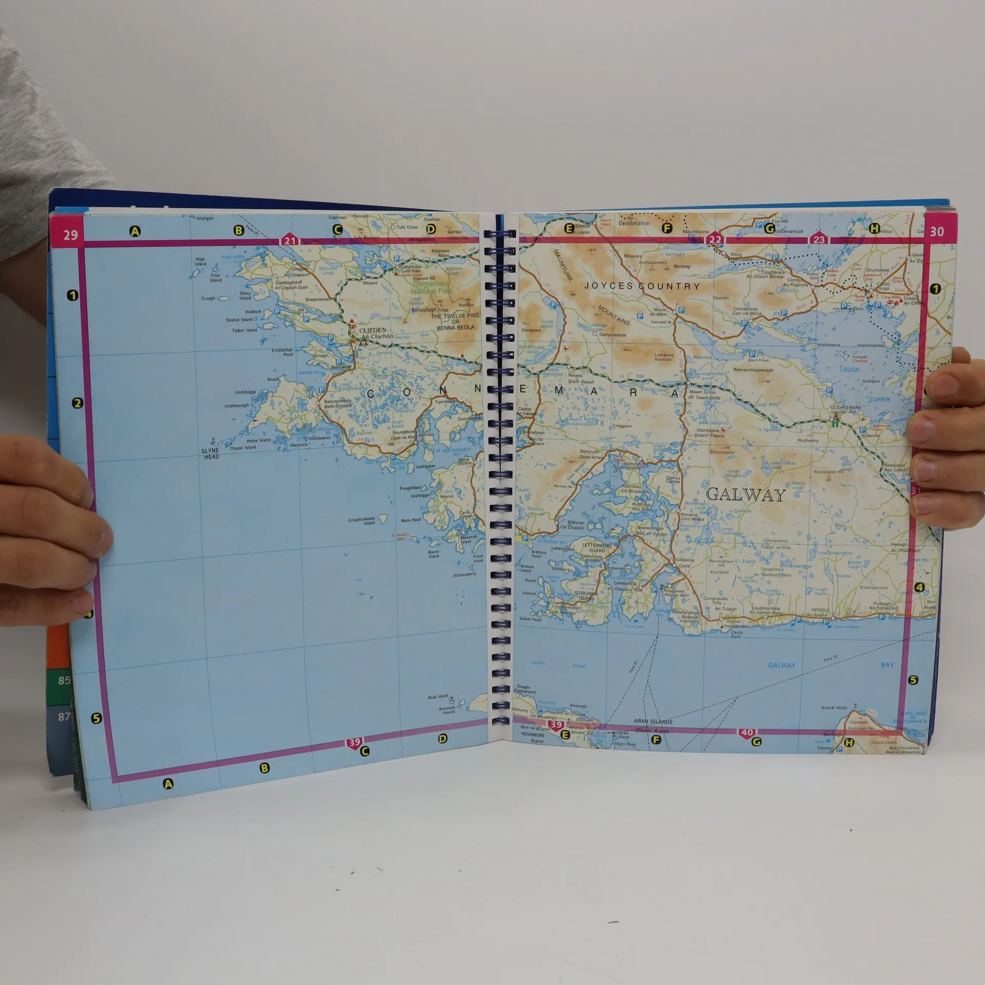
Spiral-bound atlas of Ireland that features detailed road maps at 1:210,000 scale (1 inch = 3.3 miles). Also includes city maps, touring and motoring information, distance chart, golf courses, and placename index. Cities maps of Dublin, Belfast, Cork, Londonderry, Armagh, Galway, Kilkenny, Limerick, Lisburn, Newry, and Waterford. Legend in Gaelic, English, French and German.
Acquisto del libro
The complete road atlas of Ireland = an tsuirbhéireacht ordanáis atlas bóithre na hÉireann eolai don tiománaí., AA.VV.
- Lingua

- Pubblicato
- 2007
- product-detail.submit-box.info.binding
- (Spirale)
Ti avviseremo via email non appena lo rintracceremo.
Metodi di pagamento
Qui potrebbe esserci la tua recensione.
- Titolo
- The complete road atlas of Ireland = an tsuirbhéireacht ordanáis atlas bóithre na hÉireann eolai don tiománaí.
- Lingua
- Inglese
- Autori
- AA.VV.
- Editore
- Ordnance Survey of Ireland
- Pubblicato
- 2007
- Formato
- Spirale
- Pagine
- 107
- ISBN10
- 190551140x
- ISBN13
- 9781905511402
- Serie
- Valutazione
- 4,5 su 5
- Descrizione
- Spiral-bound atlas of Ireland that features detailed road maps at 1:210,000 scale (1 inch = 3.3 miles). Also includes city maps, touring and motoring information, distance chart, golf courses, and placename index. Cities maps of Dublin, Belfast, Cork, Londonderry, Armagh, Galway, Kilkenny, Limerick, Lisburn, Newry, and Waterford. Legend in Gaelic, English, French and German.