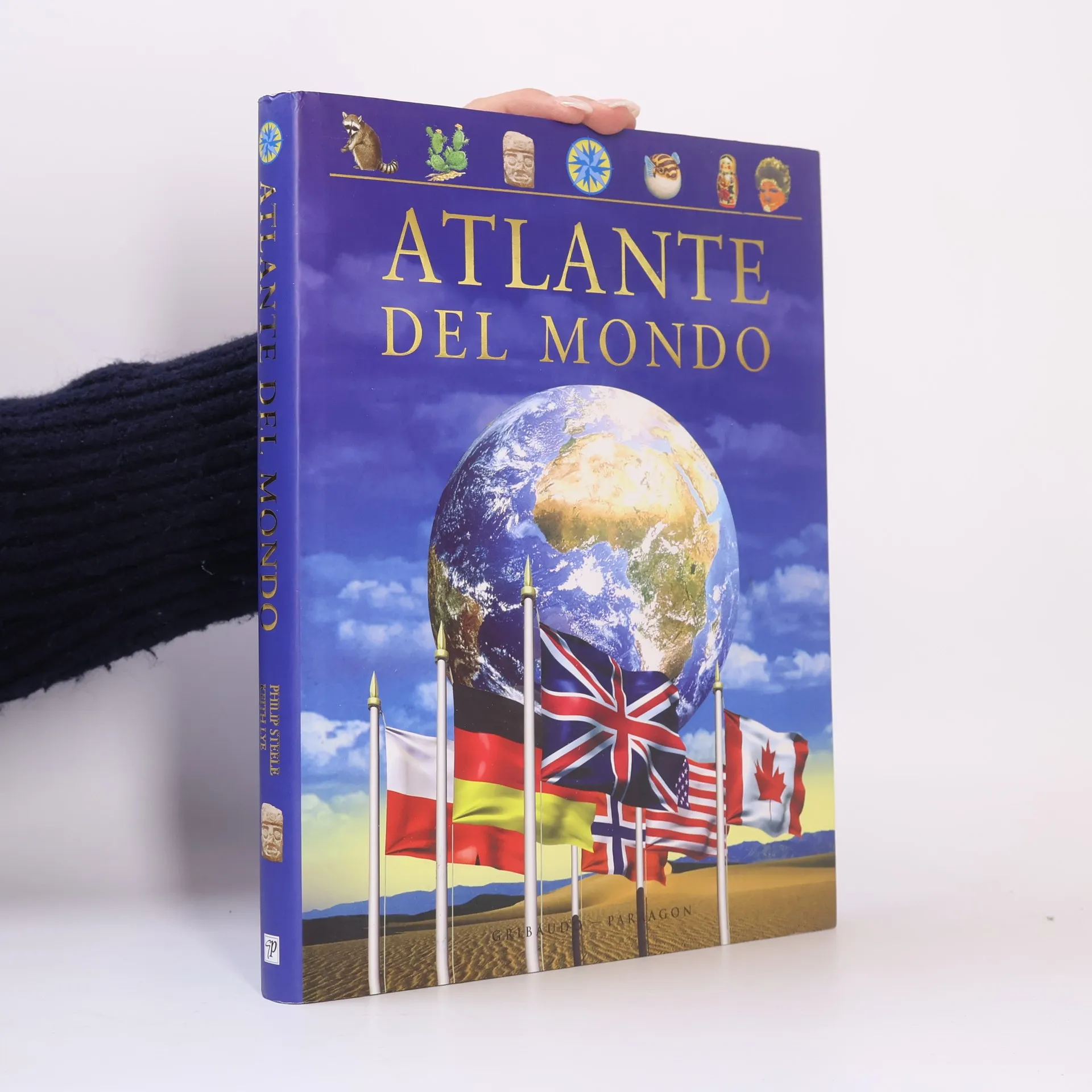
Atlante del mondo
- 256pagine
- 9 ore di lettura

Keith Lye è specializzato nella creazione di atlanti e opere geografiche sia per bambini che per adulti. La sua produzione presenta frequentemente raffigurazioni dettagliate e coinvolgenti del mondo. Lye mira a rendere la geografia accessibile ai lettori di tutte le età attraverso i suoi atlanti illustrati. I suoi libri sono progettati per essere sia educativi che visivamente accattivanti.
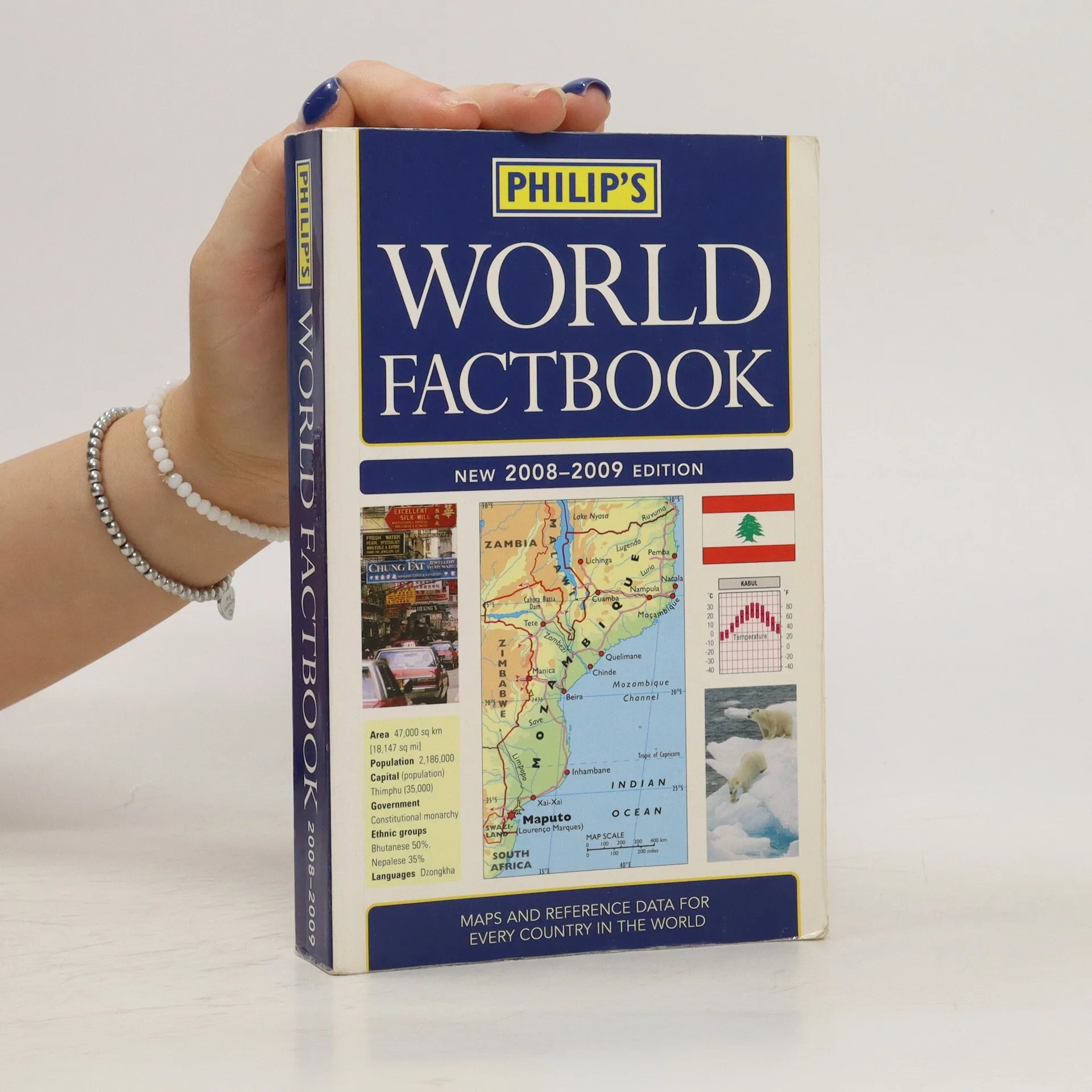
Annotation. Fully updated for 2008-2009, Philip's World Factbook is a reference book for students, travellers, journalists and geography buffs, providing concise, up-to-date geographical information on every country of the world, illustrated with mapsand flags.
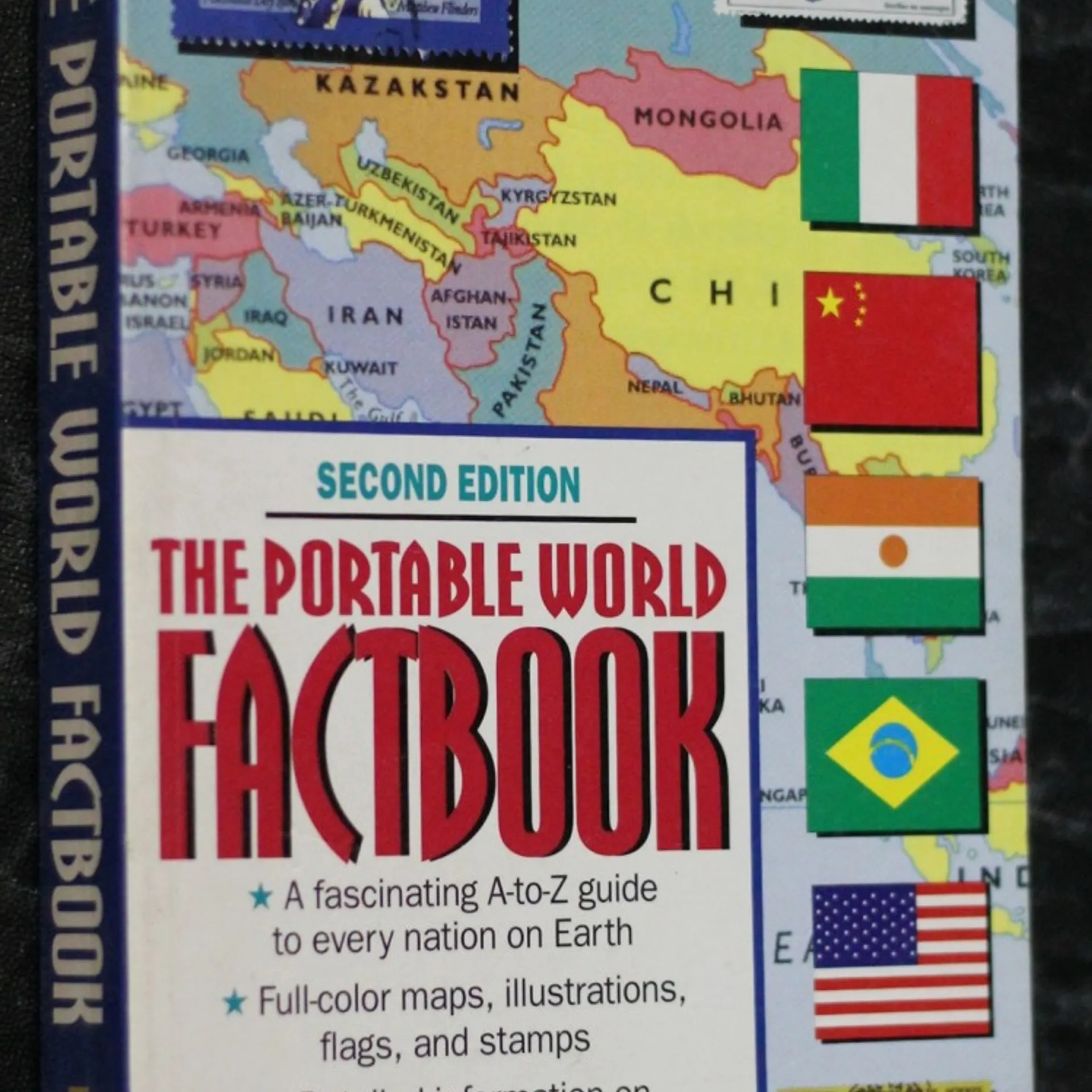
A concise A-to-Z guide to every nation in the world contains full-color maps and flags, climate graphs, stamps, and fascinating facts regarding history, politics, culture, economy, and geography.
some creases along the edges of the cover and a couple of rips.
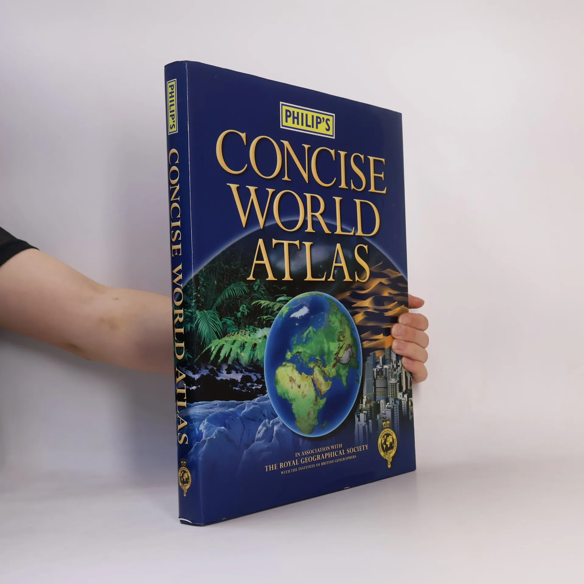
'Philip's Concise World Atlas' is suitable for home and family reference and contains 128 pages of fully revised topographic and political maps. Also included are six pages of world statistical data, plus a 48-page section, 'The Earth In Space'.
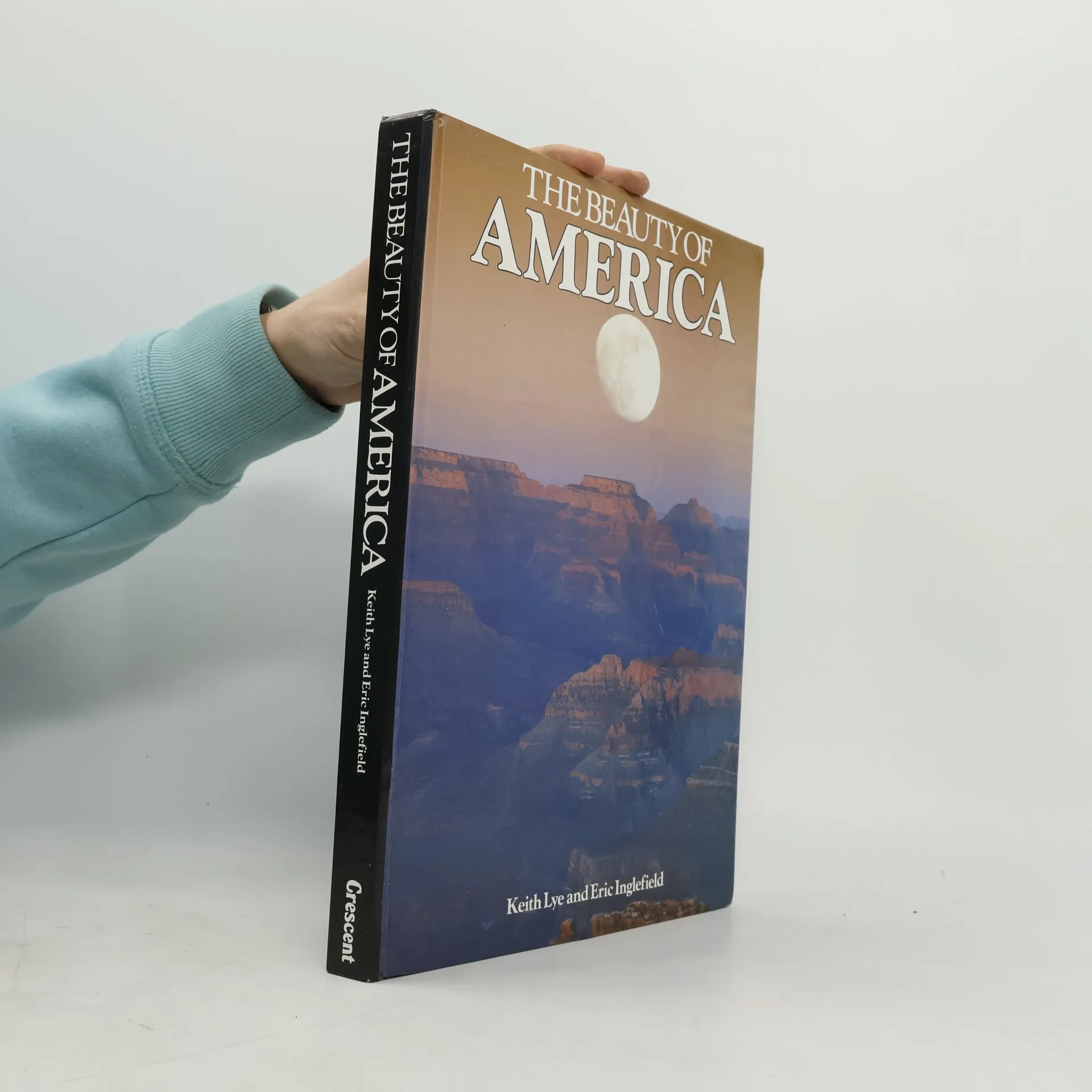
The unsurpassed beauty and immense variety of the American landscape is superbly captured in "The Beauty of America, a book that is fascinating to read and a delight to browse through with its lively and informative text and outstanding collection of photographs.
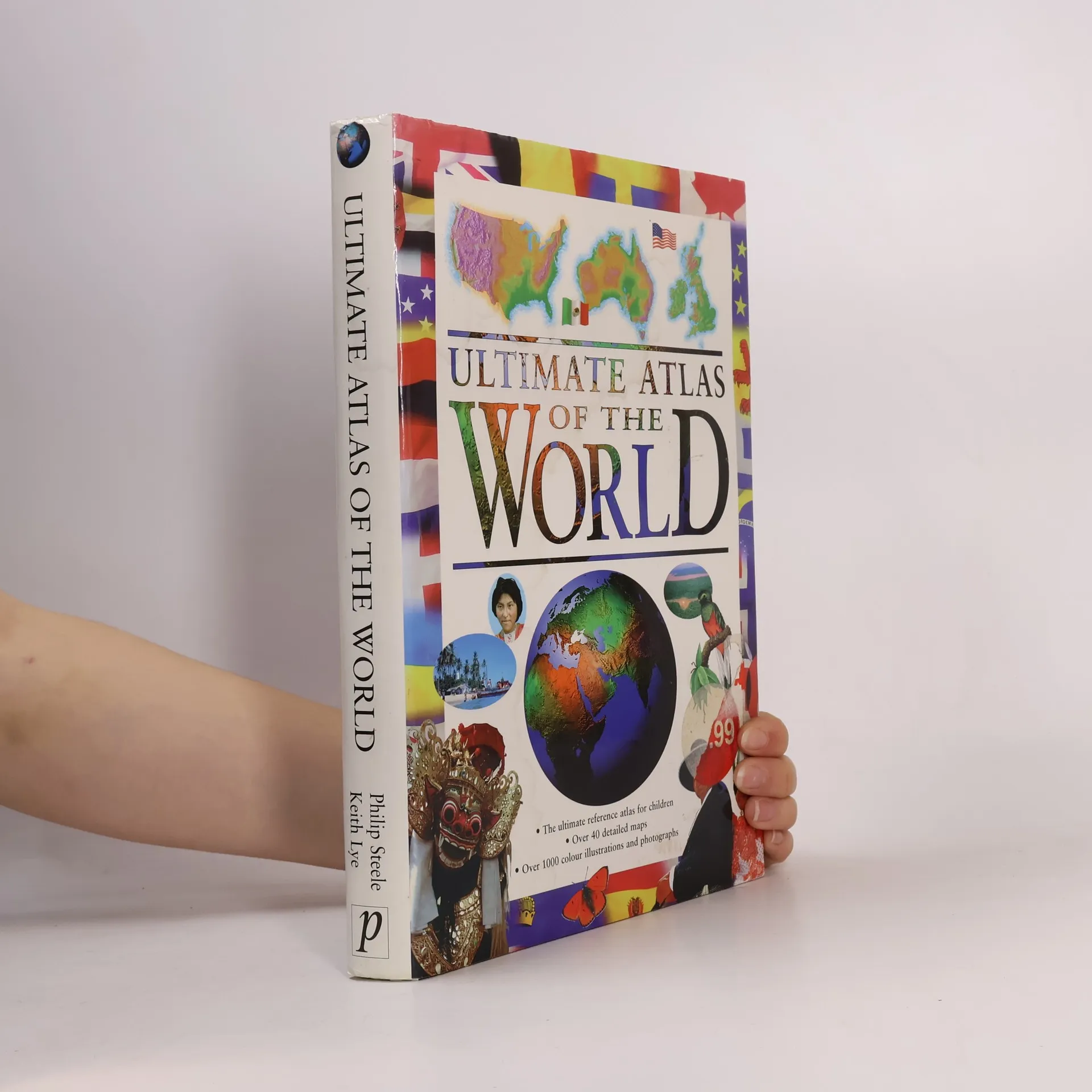
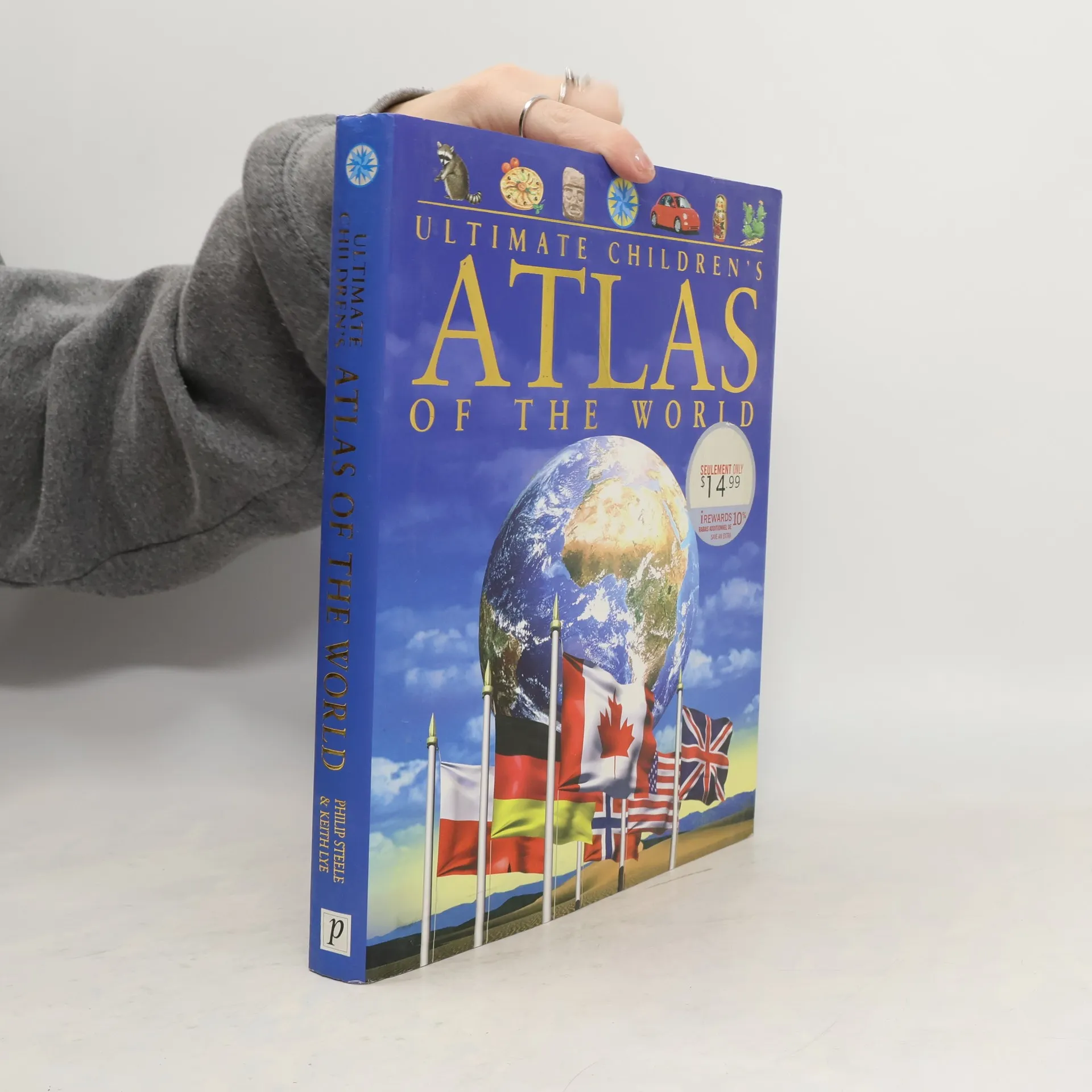
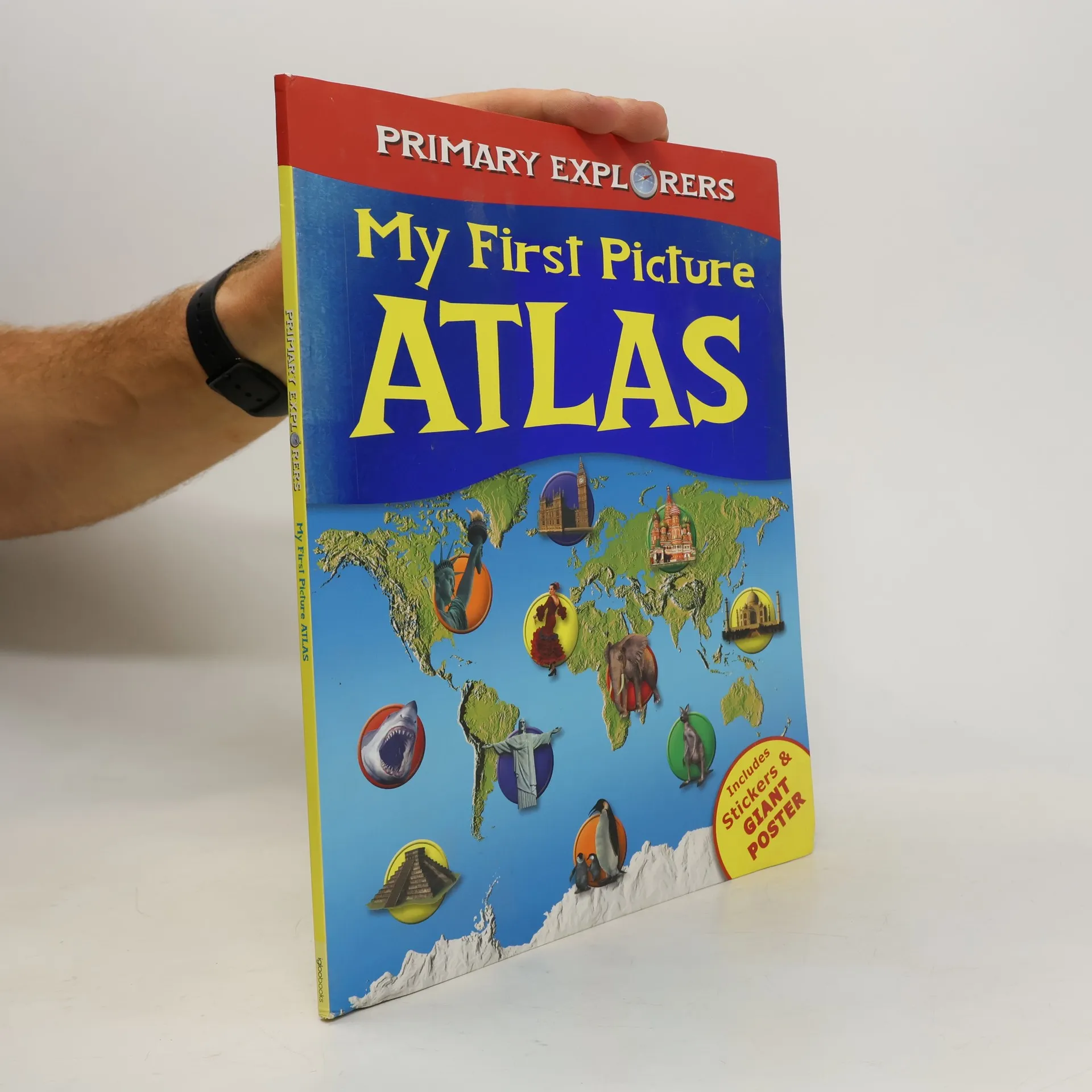
The Ultimate Atlas of the World provides a fact-filled and exciting journey in which young readers can explore for themselves the world and its people. Each region is examined in depth, showing its position on the globe and its terrain and landscape. Children can find out about the world's systems of government and how its people live and work. Fact boxes contain important information such as capital city, population, language and currency, and history pages give a valuable timeline of the important events in each country's past. - Color illustrations and photographs throughout- Locator globes and flags for every country- Packed with facts and information on a vast ranges of issues- Unique history section with a chronology of important people and events- Includes important sections on ecology and the environment
An atlas of the United States, containing color maps and photographs covering each state's major cities, landscape, industry, agriculture, and history.
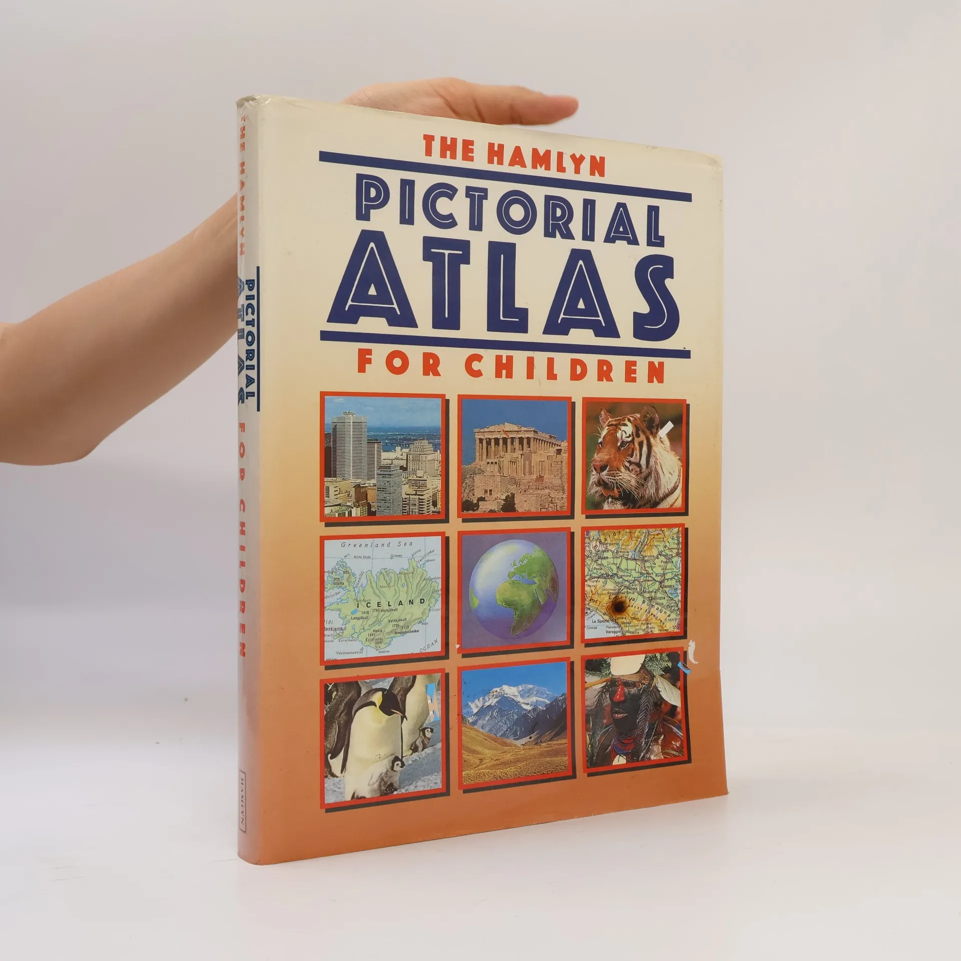
This pictorial atlas looks at many wonders of the world including architectural features, historical sites, wildlife as well as geographical features such as mountains, deserts and seas.
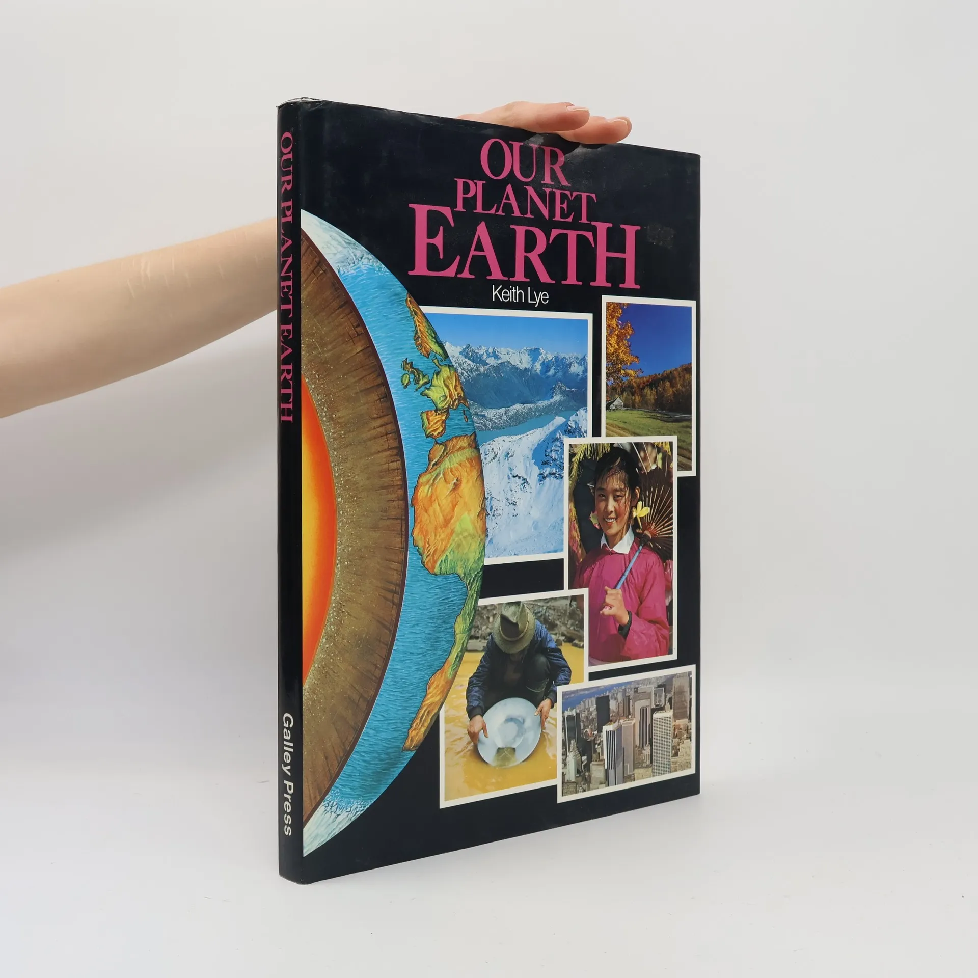
Introduces the geology, geography, climates, and natural resources of our planet.
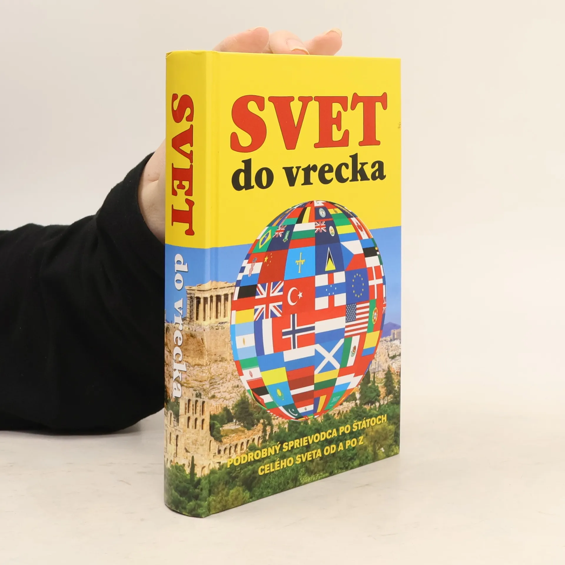
Základné informácie o každej krajine: rozloha, hlavné mesto, počet obyvateľov, štátne zriadenie, etnické zloženie, miestne jazyky, náboženstvo a mena. - Chrakterisktika prírodných podmienok jednotlivých štátov doplnená klimatickým grafom. - Stručné dejiny, súčasná politická a ekonomická situácia. - Orientačné mapy zobrazujúce polohu štátu na zemeguli. - Politické mapy s vyznačením susedných krajín, hlavných a väčších miest, významných komunikácií, riek a vodných plôch. - Národné vlajky a charakteristika ich pôvodu, významu farieb či symbolov.
Tato zeměpisná encyklopedie pomáhá mladým čtenářům objevit svět a jeho obyvatele. Výstižný popis každého státu začíná určením jeho polohy na glóbu. S povrchem a krajinou se děti seznámí na reliéfních mapách. Základní fakta o jednotlivých státech jsou shrnuta v rámečcích - počet obyvatel, rozloha, hlavní město, měna….atd.
Dieser Atlas besticht durch seine Fülle an aktuellen Informationen und bietet eine aufregende Reise um die ganze Welt. Mithilfe zahlreicher Fotos und Illustrationen können junge Leser alles über ein bestimmtes Land dieser Erde und seine Bevölkerung erfahren. Politische und physische Karten zeigen die genaue Lage auf dem Globus an. Übersichtliche Infokästen mit den wichtigsten Angaben zu Fläche, Bevölkerungszahl, Hauptstadt, Amtsspreche, Währung und vielem mehr vermitteln das grundlegende Wissen zu einem Land auf einen Blick. Dieser Atlas ist eine unerschöpfliche Quelle des Wissens für die ganze Familie.
500 pages, 2500 illustrations plein d'informations dans un langage très simple, bien adaptées aux deuxième et troisième cycles du primaire 10 grands thèmes pour répondre à la curiosité des enfants : la Terre, l'Univers, la mer, tous les animaux, au temps des dinosaures, les plantes, mon corps, les machines, les continents et les peuples, les sciences 140 jeux et activités parce qu'on apprend beaucoup et très facilement en s'amusant et en réalisant de courtes expériences Un extrait de conte invite à la lecture sur chaque thème. Des petits encadrés de vocabulaire expliquent les mots difficiles.
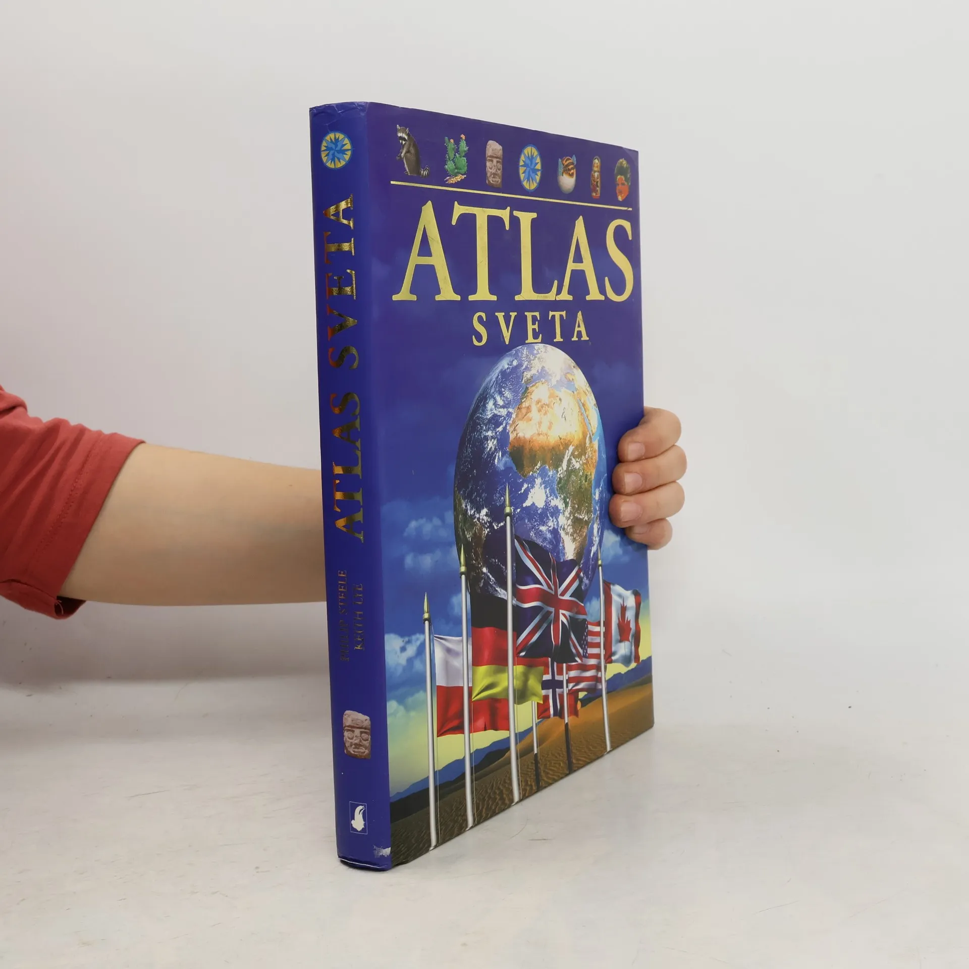
Tento ilustrovaný atlas predstaví čitateľovi celý svet, jeho regióny i národy. Zaoberá sa všetkými štátmi na jednotlivých kontinentoch. Obsahuje podrobné informácie o charaktere krajiny, jednotlivých štátoch regiónu, o podnebí, rastlinstve a živočíchoch i o dejinách jednotlivých štátov. V kapitole o Zemi sa vysvetľuje, ako vznikajú sopky, prečo dochádza k zemetraseniam, ako sa vytvárajú horniny a fosílie, i to, ako sa pohybujú kontinenty. Svet sa neustále mení a mladí čitatelia tu nájdu mapy a informácie aj o tých krajinách, ktoré vznikli len nedávno.
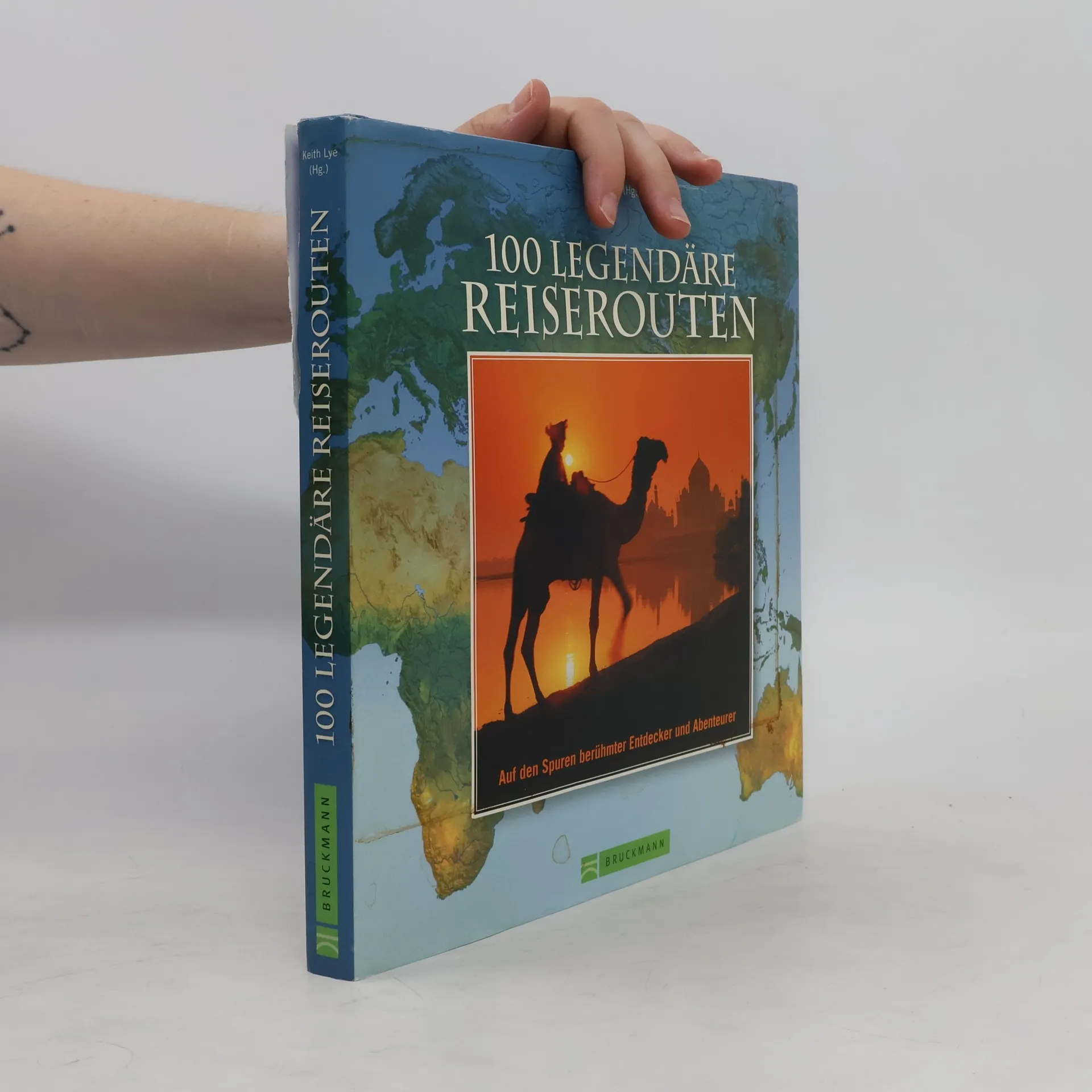
Zahlreiche Legenden ranken sich um die Seidenstraße, die Europa und China verband, oder um die Route 66 quer durch Amerika. Als zur Elite der Weltenbummler gehörend kann man sich im Blue Train durch Südafrka fühlen. Geschichte über die Jahrhunderte wird lebendig, wenn wir Marco Polo von Venedig in den Orient folgen oder auf den Spuren von Alexander dem Großen, Charles Darwin, Jules Verne oder Mark Twain wandeln. 100-mal garantierte Reise- und Abenteuerlust!
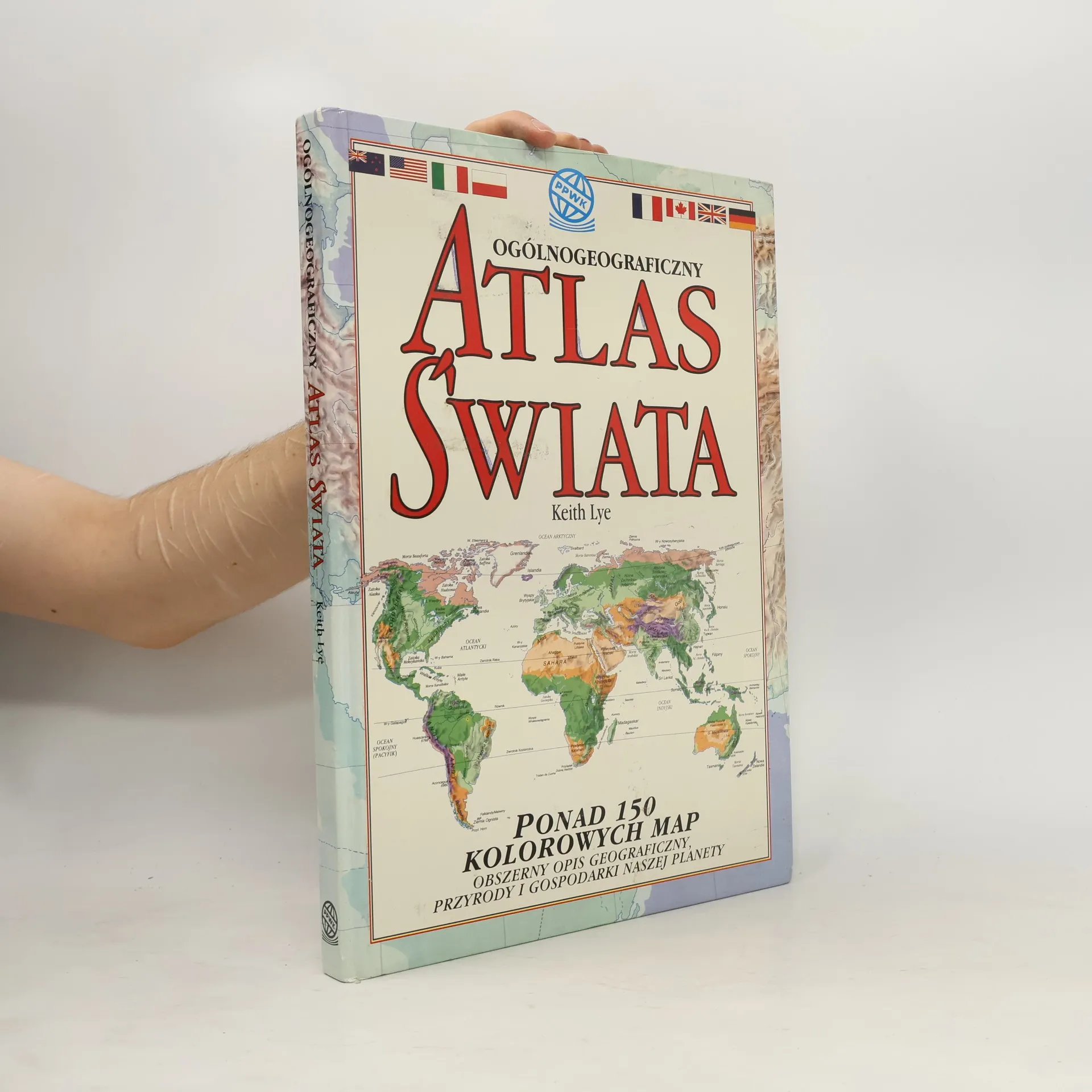
Atlas na niezwykle wysokim poziomie edytorskim przedstawia bardzo wnikliwie geografię kuli ziemskiej, jej mieszkańców i ich oddziaływanie na środowisko naturalne. Ponad 150 kolorowym mapom, zawierającym skarbnicę wiadomości o głównych regionach świata, towarzyszą wyczerpujące informacje podane w tekście, tabelach i diagramach. POŁOŻENIE NA GLOBIE: Położenie geograficzne każdego z 23 przedstawionych w atlasie regionów jest opisane i zilustrowane rysunkiem. MAPA FIZYCZNA: Mapa każdego regionu ukazuje najważniejsze cechy ukształtowania terenu - rzeki, jeziora, pasma górskie, granice państw, stolice i duże miasta. BLOKI INFORMACYJNE: Bloki te zawierają podstawowe, aktualne informacje o aspektach kulturowych, społecznych i gospodarczych oraz językach danego regionu. FLAGI: Obok flag wszystkich suwerennych krajów świata podano zwięzłe, podstawowe dane o tych krajach. STATYSTYKA: Dane statystyczne objaśniają i uzupełniają informacje zawarte w mapach. MAPY TEMATYCZNE: Każda mapa tematyczna prezentuje odrębny, istotny dla całego świata aspekt danego regionu. Te same tematy map dla każdego regionu pozwalają na dokonywanie porównań. PODPISY: Dodatkowej informacji dostarczają towarzyszące mapom podpisy. WYKRESY KLIMATYCZNE: Czytelne wykresy graficzne, sporządzone na podstawie danych stacji meteorologicznych poszczególnych regionów, ułatwiają błyskawiczną orientację w średnich miesięcznych temperaturach i opadach.