Bookbot

George Sinclair

    Historic Maps and Views of Paris
    Historic maps and views of London
    • Historic Maps and Views of Paris

      • 56pagine
      • 2 ore di lettura

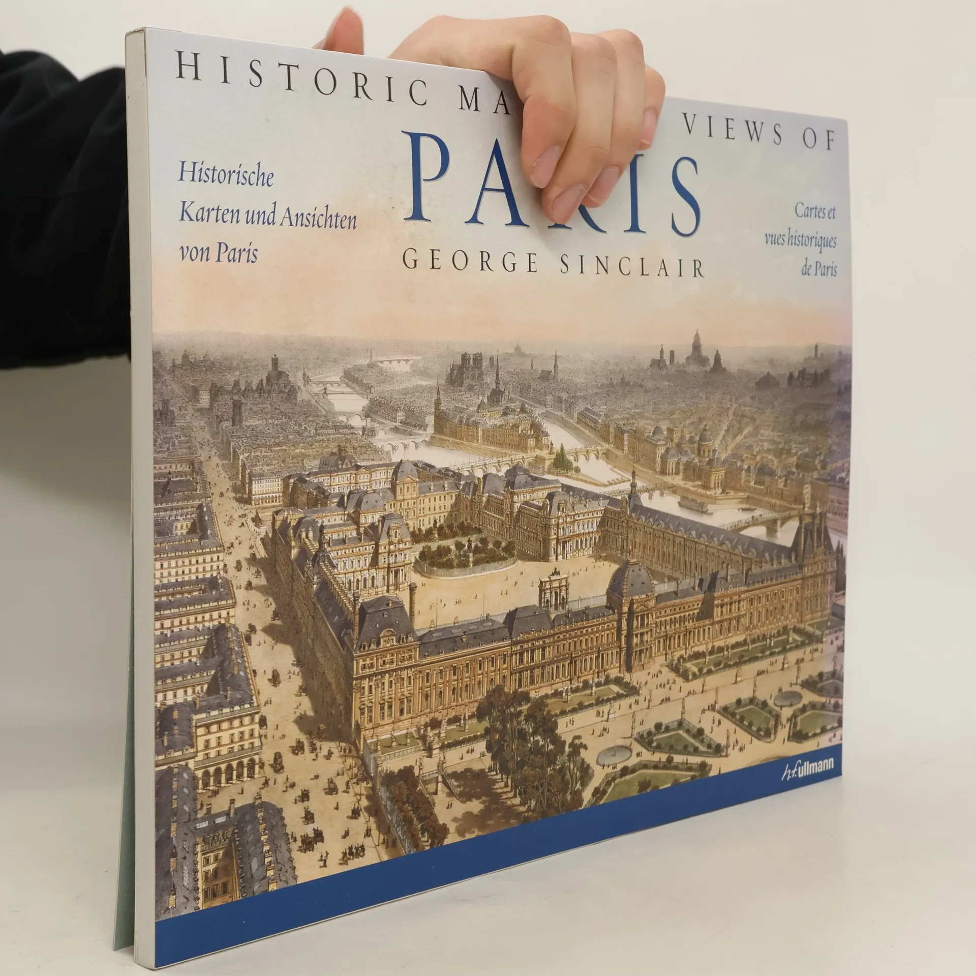
      Diese faszinierende und wunderschöne Sammlung enthält eine Ansicht von Versailles aus dem jahr 1668, einen detaillierten Plan der île de la Cité, einen Métro-Plan von 1920, Paris mit dem Eiffelturm während der Weltausstellung von 1889 aus der Vogelperspektive, beeindruckende Ansichten von Pariser Wahrzeichen (darunter der Louvre, der Arc de Triomphe sowie Notre-Dam und Sacré-Coeur) und viele weitere mehr. Die Bildbeschreibungen liefern Angaben zum Druck sowie weitere historisch wichtige Daten und Fakten sowie ausführliche Erläuterungen zu den Karten. Alle Karten in vorzüglicher drucktechnischer Wiedergabe, brillanten Farben und Details. Format passend zum Einrahmen in handelsübliche Bilderrahmen!

      Historic Maps and Views of Paris2010
    • The 24 unique, fascinating, and beautiful maps and views in this book date from the 12th century to the present, including some of the earliest known maps of London as well as topographical maps, views of iconic locations and monuments, transit maps, maps used for advertising, road and bicycle maps, and much more.The images have been carefully selected by photographic historian George Sinclair, who traveled across Europe to mine some of the most obscure historical collections for a wide variety of unique, never-before-published, and visually and historically intriguing images. Every map or view includes the original printing information on the back and is accompanied by brief text that places the image in its historic context and further illuminates its qualities. In addition, Sinclair provides a thoughtful introduction to the collection of images. Printed on high-quality matte paper and exquisitely reproduced, these images are perfect for display in any home, office, library, dorm room, or classroom.

      Historic maps and views of London2009
      3,8