
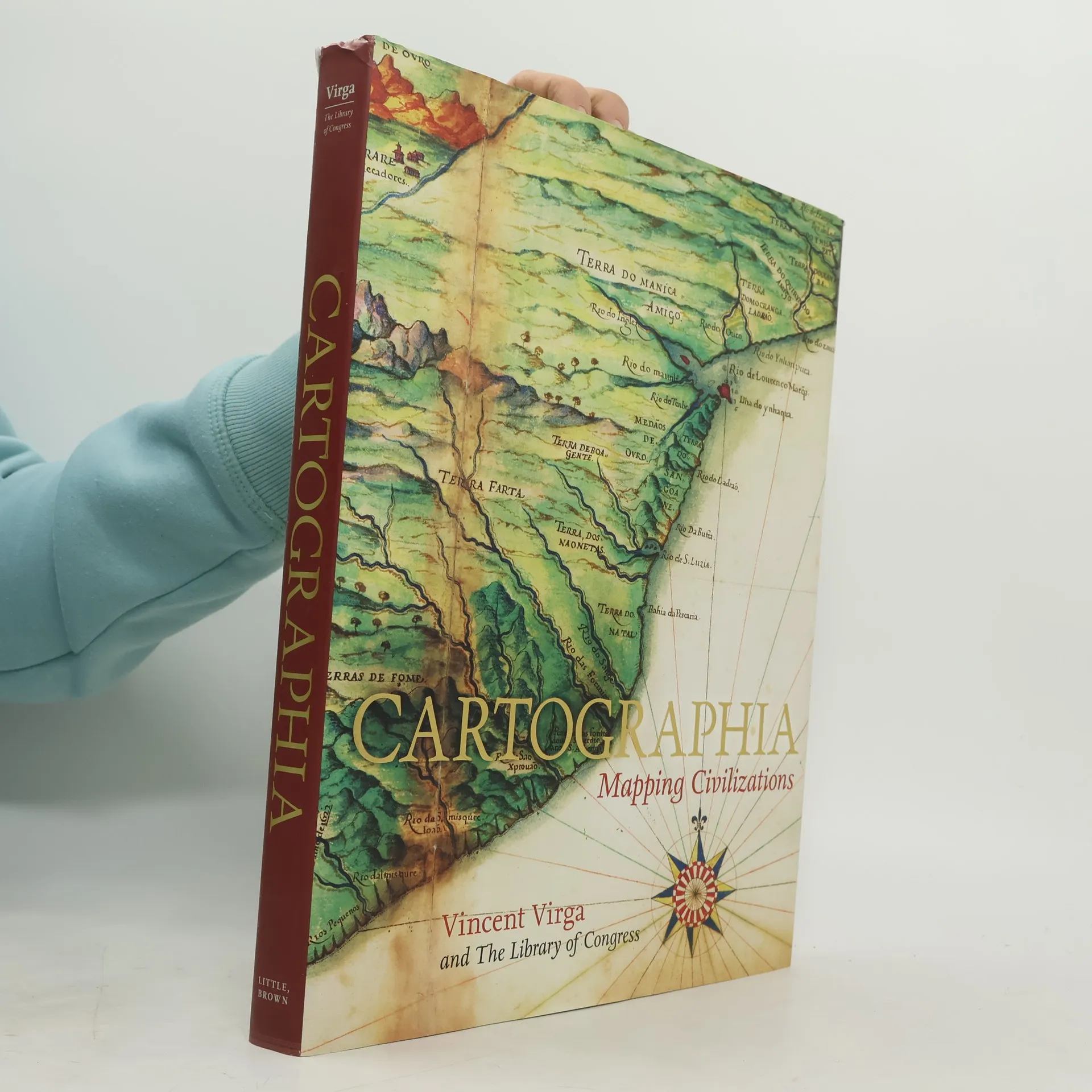
Cartographia: Mapping Civilizations
- 272pagine
- 10 ore di lettura
CARTOGRAPHIA offers a stunning array of 200 of the most beautiful, important, and fascinating maps in existence, from the world's largest cartographic collection, at the Library of Congress. These maps show how our idea of the world has shifted and grown over time, and each map tells its own unique story about nations, politics, and ambitions. The chosen images, with their accompanying stories, introduce the reader to an exciting new way of "reading" maps as travelogues---living history from the earliest of man's imaginings about planet earth to our current attempts at charting cyberspace. Among the rare gems included in the book are the Waldseemuller Map of the World from 1507, the first to include the designation "America"; pages from the Ortelius's Theatrum Orbis Terrarum of 1570, considered the first modern atlas; rare maps from Africa, Asia, and Oceania that challenge traditional Western perspectives; William Faulkner's hand-drawn 1936 map of the fictional Yoknapatawpha County, Mississippi; and even a map of the Human Genome. In an oversized format, with gorgeous four-color reproductions throughout, Catrographia will appeal to collectors, historians, and anyone looking for a perfect gift.