
Esaurito
Maggiori informazioni sul libro
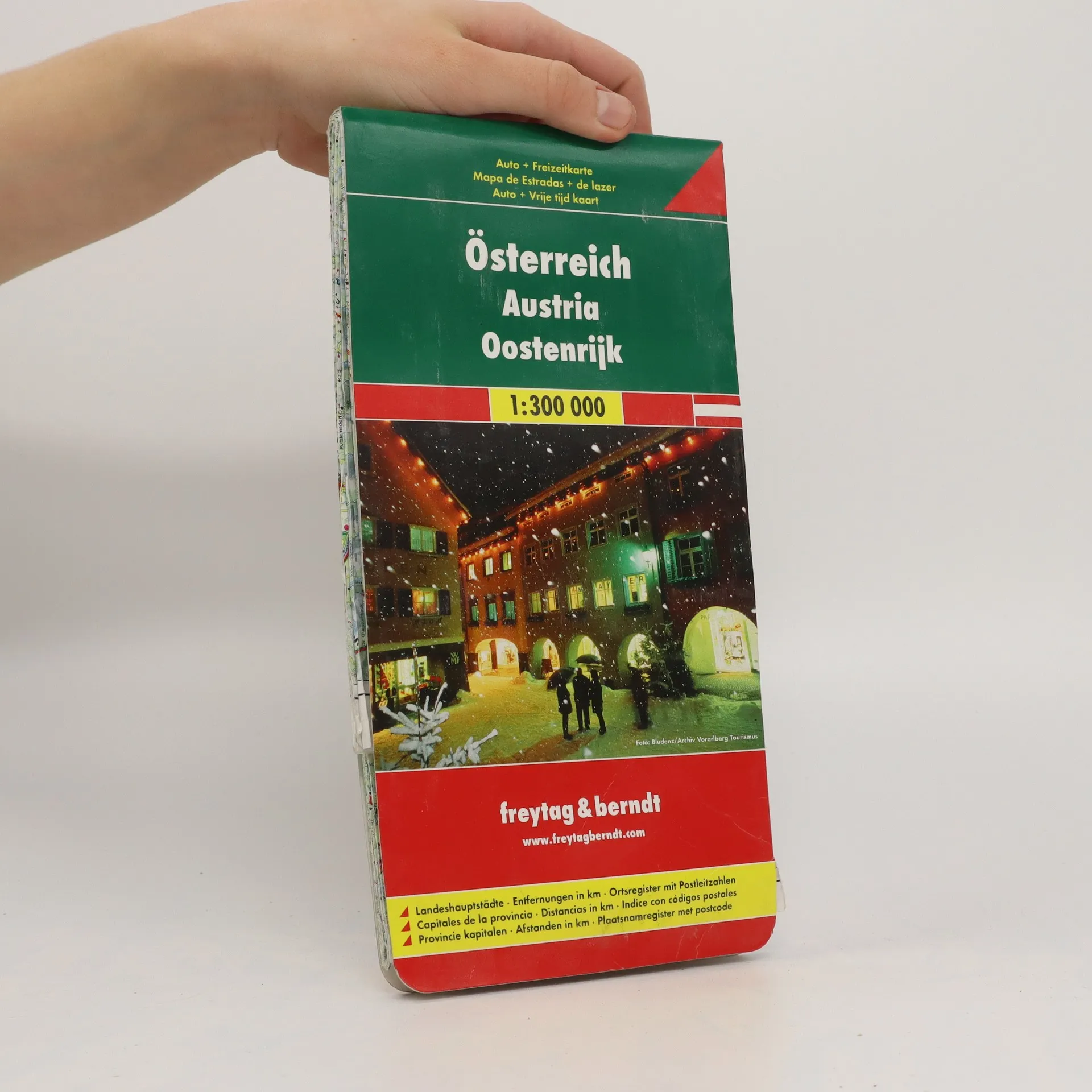
A nicely detailed road map for Austria, showing the autobahn, all major and most minor roads, provincial capitals and distances at a scale of 1:300,000 (1" to 5 miles). The complete index of communities includes postal codes and detailed city plans for Bregenz, Eisenstadt, Graz, Innsbruck, Klagenfurt, Linz, Salzburg, St. Polten & Wien. Map details include railways, airports, gas stations on the autobahn, scenic and tourist routes, and scenic viewpoints and places of interest. This map also covers the southeastern part of Germany, including Augsburg, Munich, and Bregenz.
Acquisto del libro
Österreich 1:300 000, AA.VV.
- Lingua


- Pubblicato
- product-detail.submit-box.info.binding
- (Altro)
Ti avviseremo via email non appena lo rintracceremo.
Metodi di pagamento
Ancora nessuna valutazione.
- Titolo
- Österreich 1:300 000
- Lingua
- Inglese, Tedesco, Olandese
- Autori
- AA.VV.
- Editore
- Freytag & Berndt
- Formato
- Altro
- ISBN10
- 3850843491
- ISBN13
- 9783850843492
- Serie
- Descrizione
- A nicely detailed road map for Austria, showing the autobahn, all major and most minor roads, provincial capitals and distances at a scale of 1:300,000 (1" to 5 miles). The complete index of communities includes postal codes and detailed city plans for Bregenz, Eisenstadt, Graz, Innsbruck, Klagenfurt, Linz, Salzburg, St. Polten & Wien. Map details include railways, airports, gas stations on the autobahn, scenic and tourist routes, and scenic viewpoints and places of interest. This map also covers the southeastern part of Germany, including Augsburg, Munich, and Bregenz.