
Questo è quello che aggiungi al carrello

Parametri
Maggiori informazioni sul libro
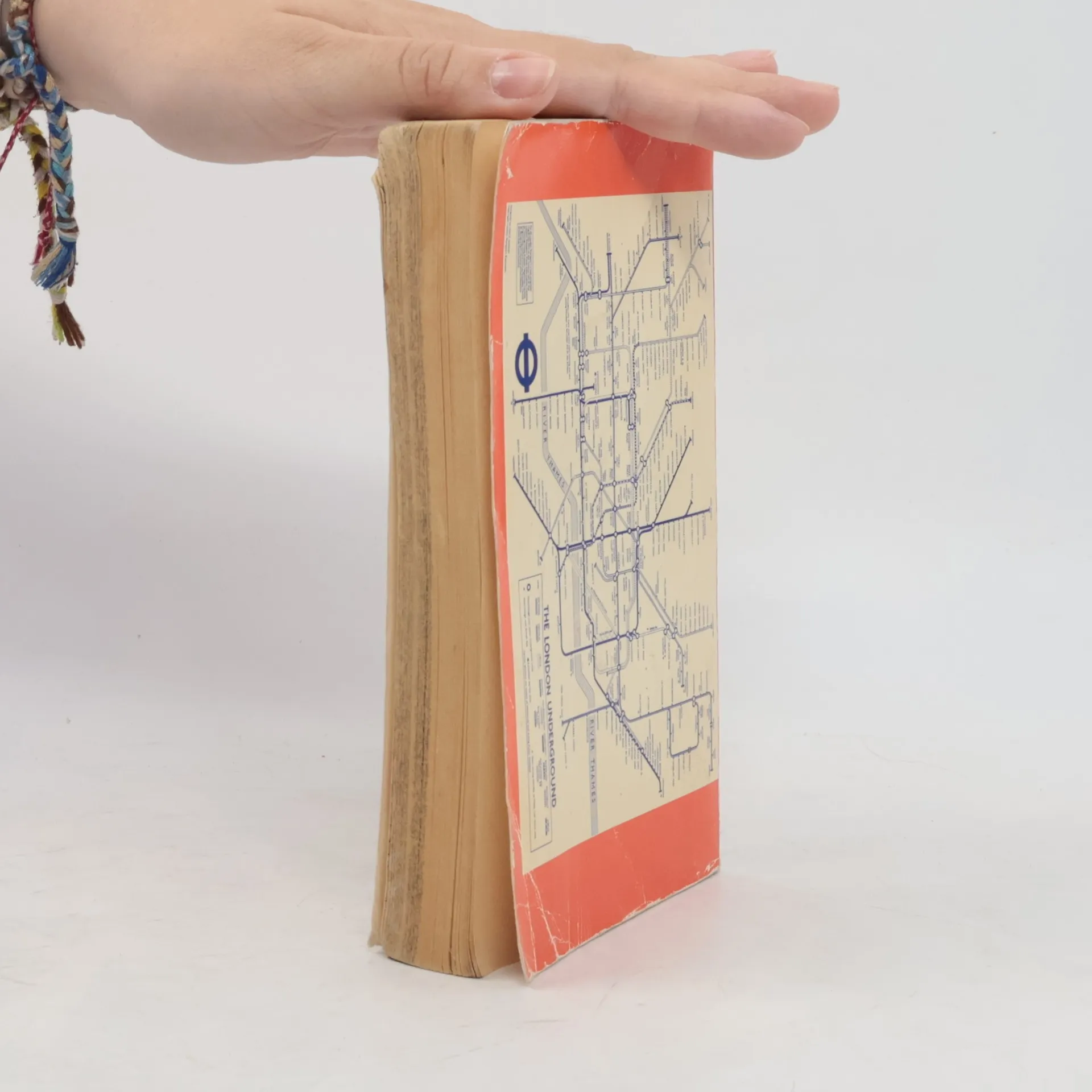
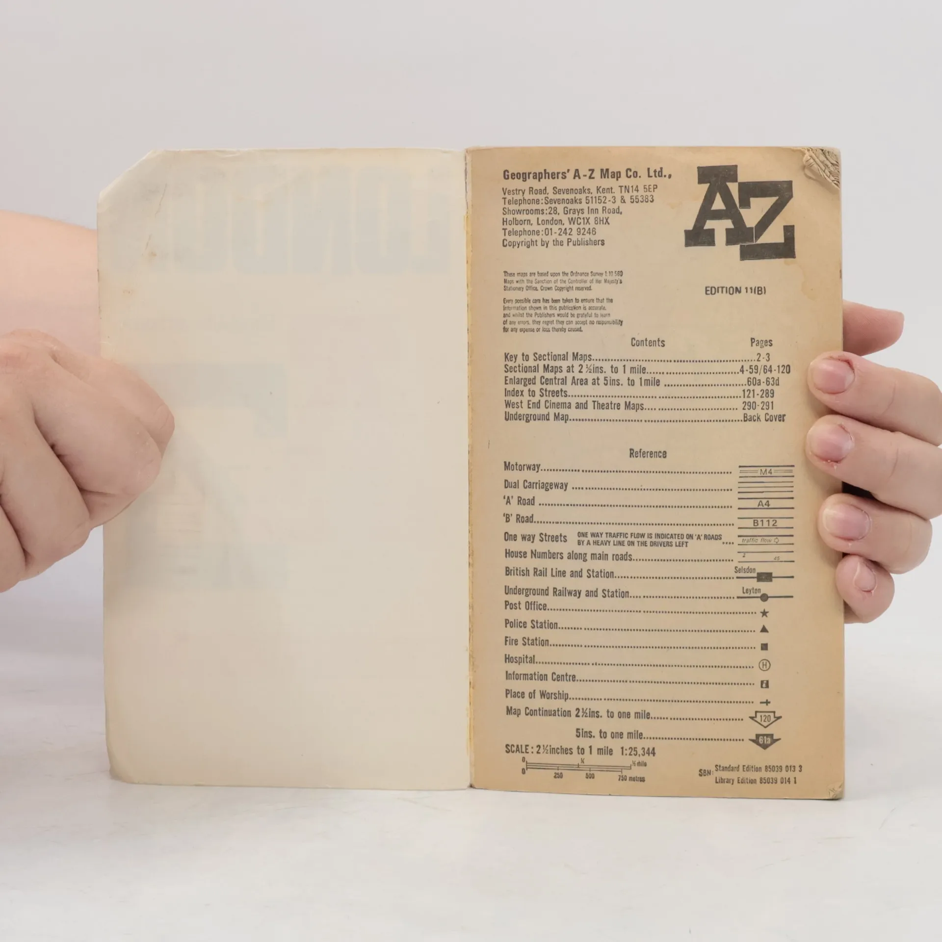
Contains street maps at scale 3" to 1 mile, 11 pages of 4.5" to 1 mile maps covering the congested central area, an Underground map and West End cinema and theatre maps. Coverage extends to Stanmore, Barnet, Enfield, Woodford, Dagenham, Woolwich, Bromley, Croydon, Surbiton, Southall and Harrow.


Acquisto del libro
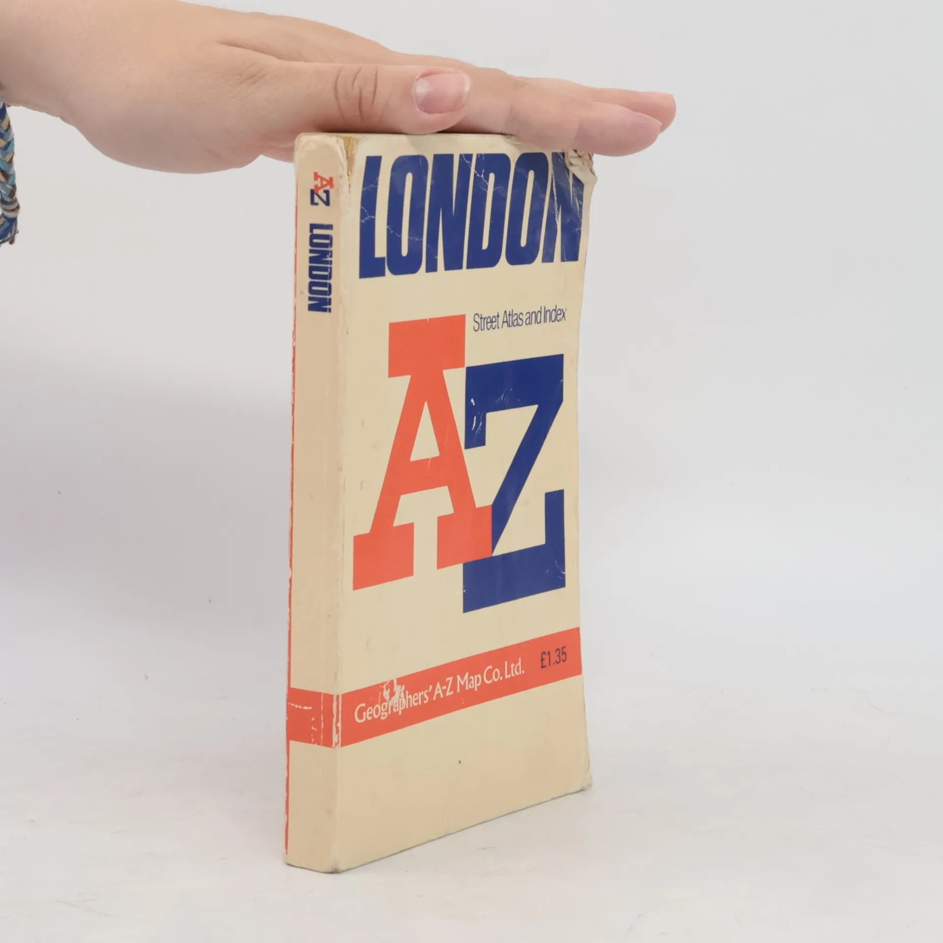
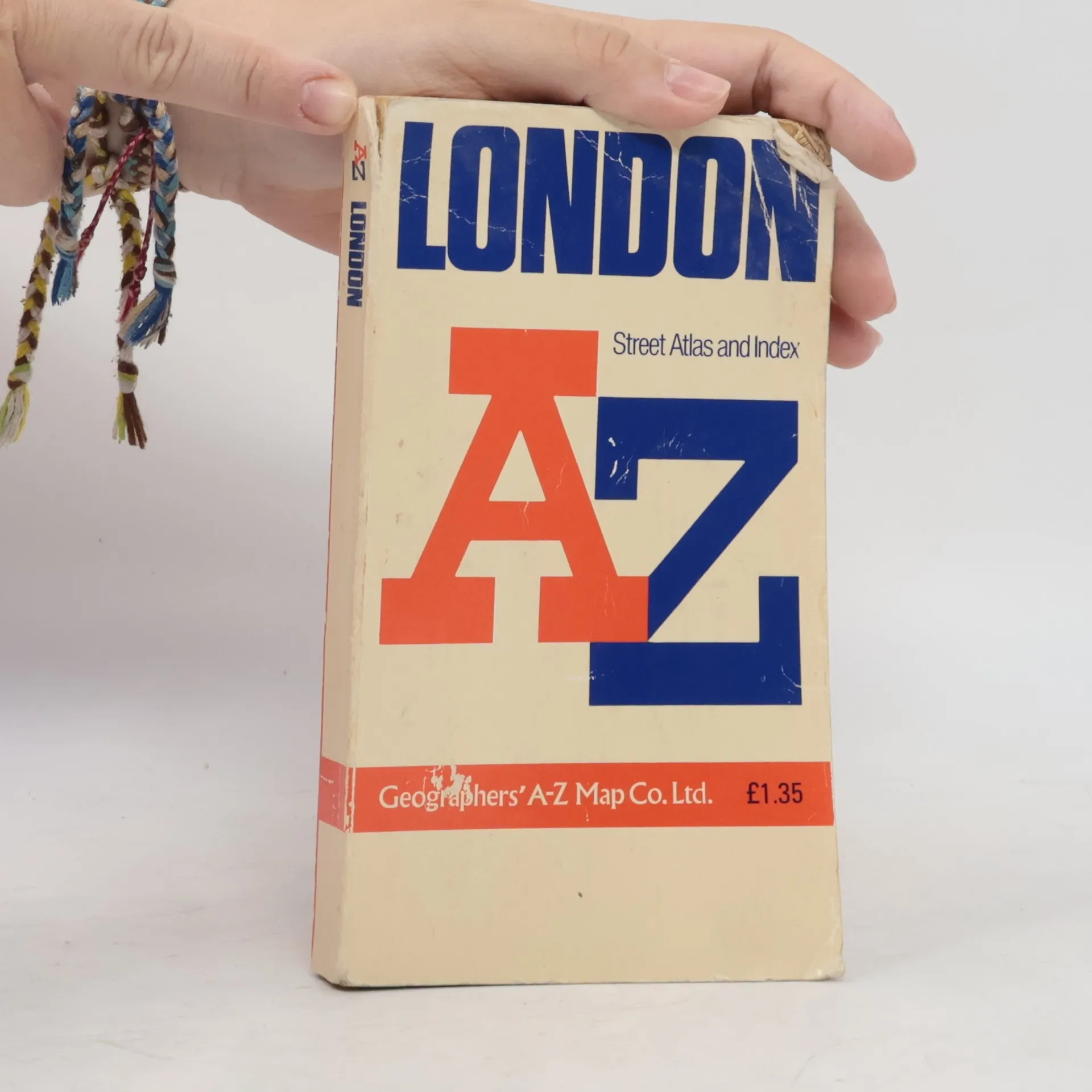
AZ London Street Atlas, AA.VV.
- Lingua

- Pubblicato
- 1990
- product-detail.submit-box.info.binding
- (In brossura),
- Condizioni del libro
- Danneggiato
- Prezzo
- 1,53 €
Metodi di pagamento
Qui potrebbe esserci la tua recensione.
- Titolo
- AZ London Street Atlas
- Sottotitolo
- Street Atlas Index
- Lingua
- Inglese
- Autori
- AA.VV.
- Editore
- Geographers' A-Z Map Company
- Pubblicato
- 1990
- Formato
- In brossura
- ISBN10
- 0850390133
- ISBN13
- 9780850390131
- Serie
- Valutazione
- 4,45 su 5
- Descrizione
- Contains street maps at scale 3" to 1 mile, 11 pages of 4.5" to 1 mile maps covering the congested central area, an Underground map and West End cinema and theatre maps. Coverage extends to Stanmore, Barnet, Enfield, Woodford, Dagenham, Woolwich, Bromley, Croydon, Surbiton, Southall and Harrow.