
Maggiori informazioni sul libro
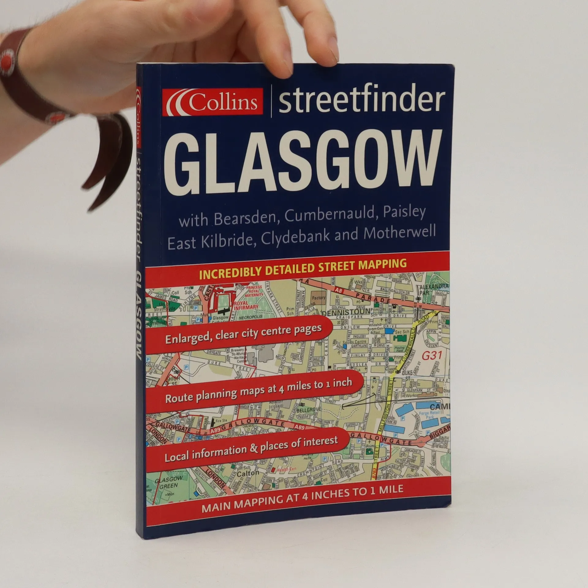
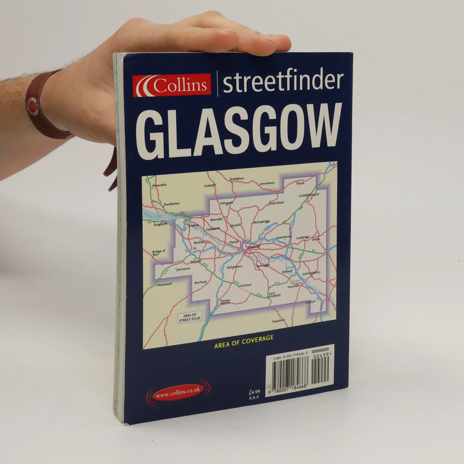
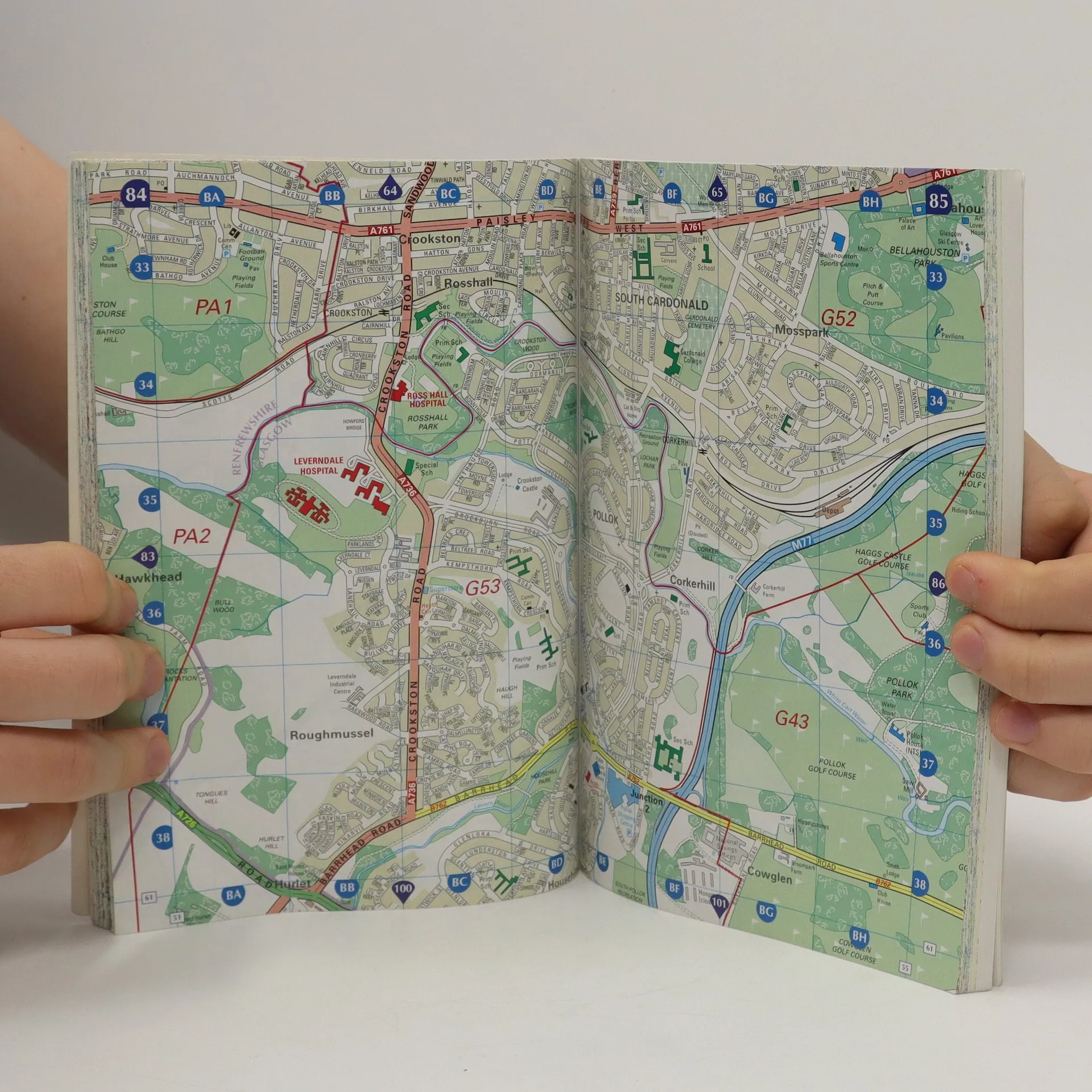
4 inches to 1 mile 1:15,800 Full colour street level mapping complete with index and local information guide. Ideal for residents, visitors and businesses. MAIN FEATURES * Full colour street atlas with roads colour classified at 4 inches to 1 mile * Full index to street names * Local information pages * Map of Strathclyde Transport Rail Network * Map of Glasgow Airport INCLUDES * One way streets * Car parks, railway and bus stations * Post offices, police stations and fire stations plotted AREA OF COVERAGE The atlas covers an extensive area, including Cumbernauld in the north, Clydebank in the north west, Johnstone in the west, Easterhouse and Uddingston in the east and Barrhead and Giffnock in the south. WHO THE PRODUCT IS AIMED AT Essential for residents and business users alike. Also useful for anyone visiting and driving around the city on a regular basis.
Acquisto del libro
Glasgow Streetfinder Colour Atlas, AA.VV.
- Lingua

- Pubblicato
- 2005
- product-detail.submit-box.info.binding
- (In brossura)
Metodi di pagamento
Ancora nessuna valutazione.
- Titolo
- Glasgow Streetfinder Colour Atlas
- Lingua
- Inglese
- Autori
- AA.VV.
- Editore
- Collins
- Pubblicato
- 2005
- Formato
- In brossura
- Pagine
- 272
- ISBN10
- 0007184662
- ISBN13
- 9780007184668
- Serie
- Descrizione
- 4 inches to 1 mile 1:15,800 Full colour street level mapping complete with index and local information guide. Ideal for residents, visitors and businesses. MAIN FEATURES * Full colour street atlas with roads colour classified at 4 inches to 1 mile * Full index to street names * Local information pages * Map of Strathclyde Transport Rail Network * Map of Glasgow Airport INCLUDES * One way streets * Car parks, railway and bus stations * Post offices, police stations and fire stations plotted AREA OF COVERAGE The atlas covers an extensive area, including Cumbernauld in the north, Clydebank in the north west, Johnstone in the west, Easterhouse and Uddingston in the east and Barrhead and Giffnock in the south. WHO THE PRODUCT IS AIMED AT Essential for residents and business users alike. Also useful for anyone visiting and driving around the city on a regular basis.