
Questo è quello che aggiungi al carrello

Maggiori informazioni sul libro
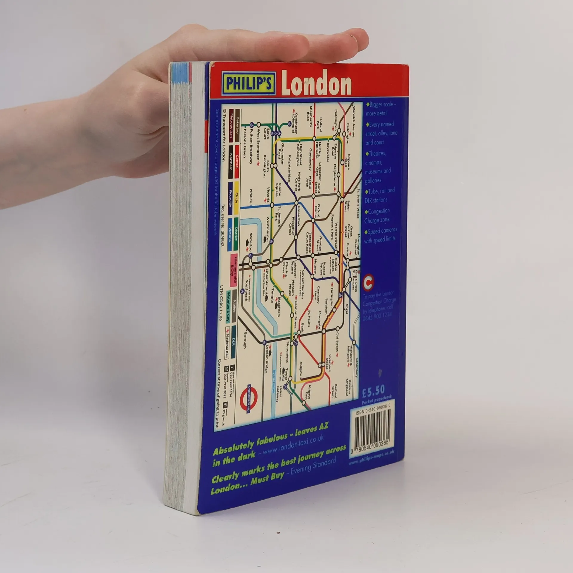
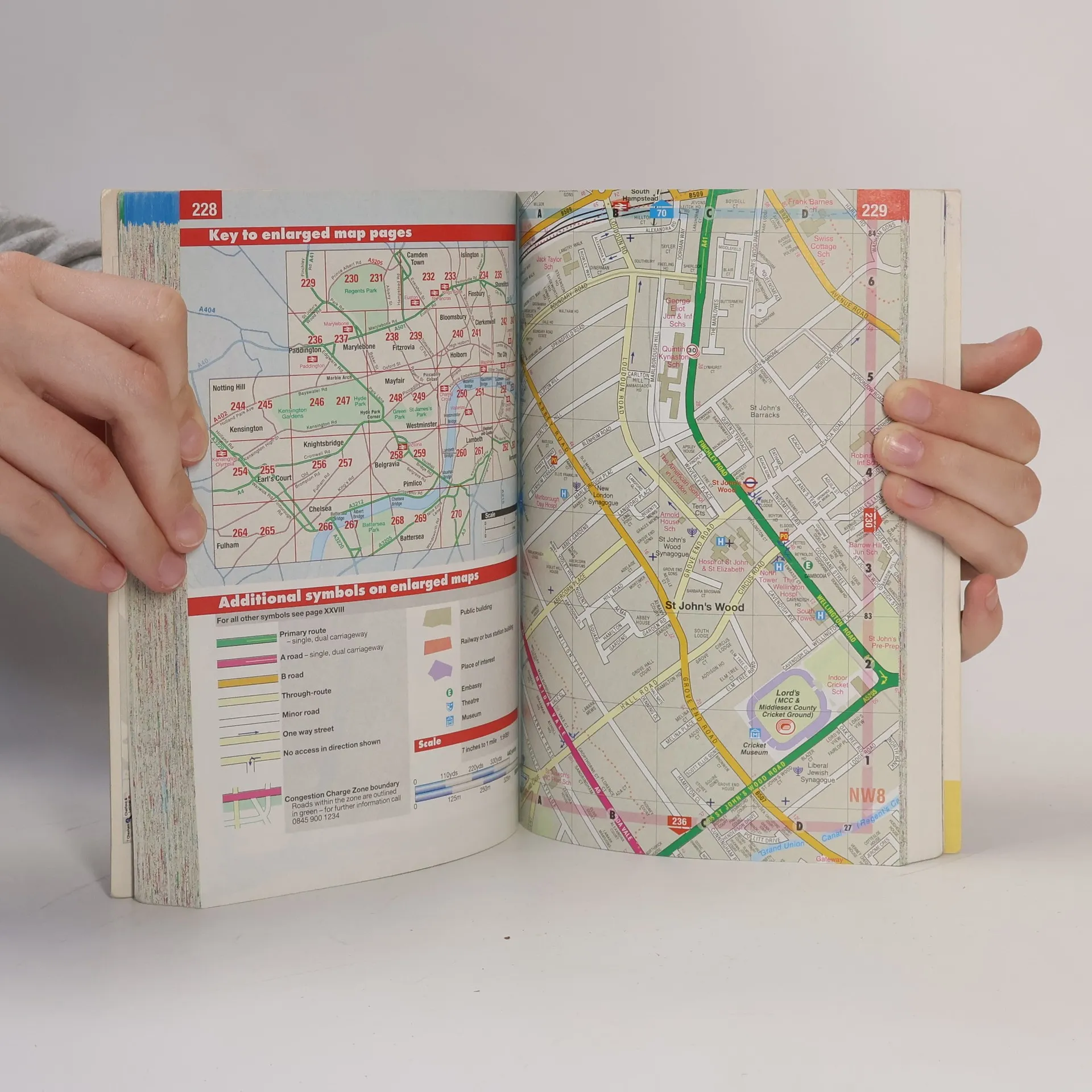
Gives comprehensive coverage of London. This atlas includes maps of central London, 18-page route planner, and the street maps. It also contains comprehensive index lists street names and postcodes, and schools, hospitals, railway stations, shopping centres and other features. It is suitable for both drivers and pedestrians.


Acquisto del libro
London Street Atlas, George Philip & Son
- Lingua

- Pubblicato
- 2007
- product-detail.submit-box.info.binding
- (In brossura),
- Condizioni del libro
- In buone condizioni
- Prezzo
- 1,99 €
Metodi di pagamento
Ancora nessuna valutazione.
- Titolo
- London Street Atlas
- Lingua
- Inglese
- Autori
- George Philip & Son
- Editore
- Philip's
- Pubblicato
- 2007
- Formato
- In brossura
- Pagine
- 486
- ISBN10
- 0540090360
- ISBN13
- 9780540090365
- Serie
- Descrizione
- Gives comprehensive coverage of London. This atlas includes maps of central London, 18-page route planner, and the street maps. It also contains comprehensive index lists street names and postcodes, and schools, hospitals, railway stations, shopping centres and other features. It is suitable for both drivers and pedestrians.