
Esaurito ma molto ricercato!
Parametri
- 160pagine
- 6 ore di lettura
Maggiori informazioni sul libro
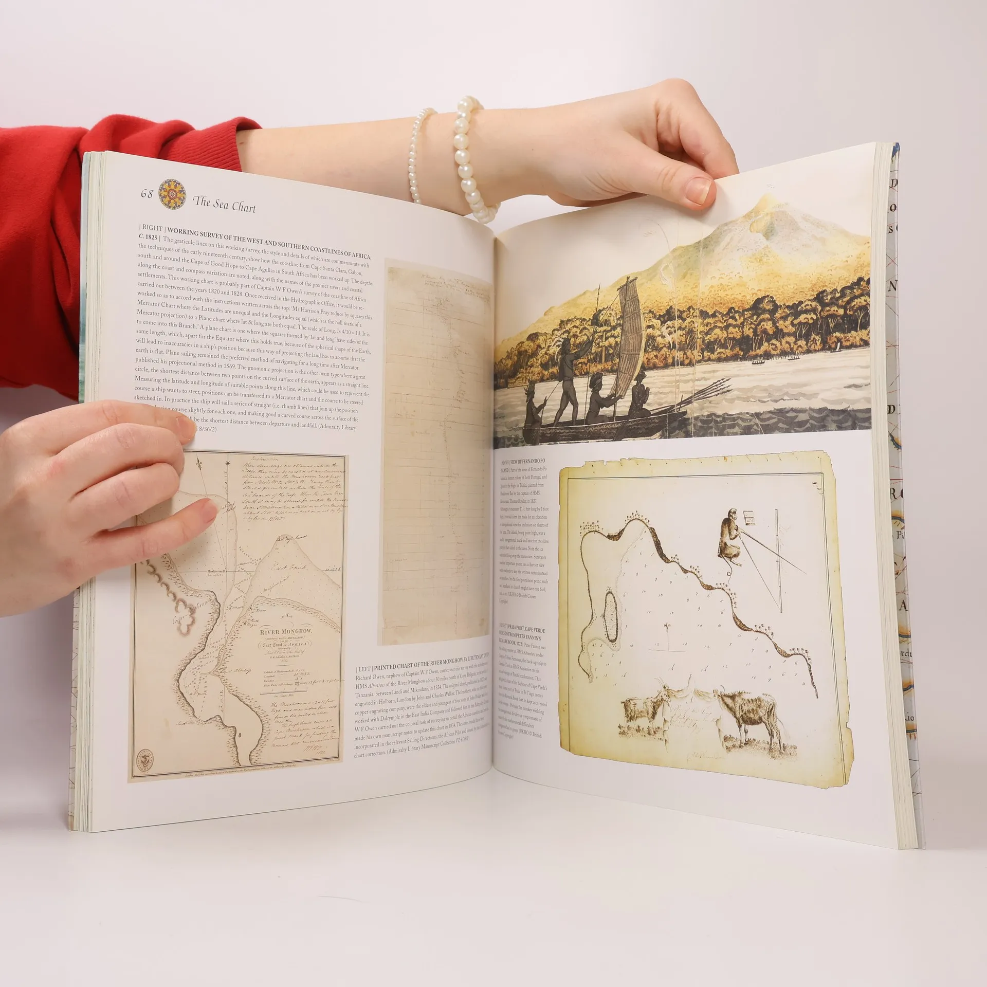
This volume looks at the history and development of the chart and the related nautical map, in both scientific and aesthetic terms, as a means of safe and accurate seaborne navigation. Key figures or milestones in the history of charting are presented in stand-alone story box features.
Acquisto del libro
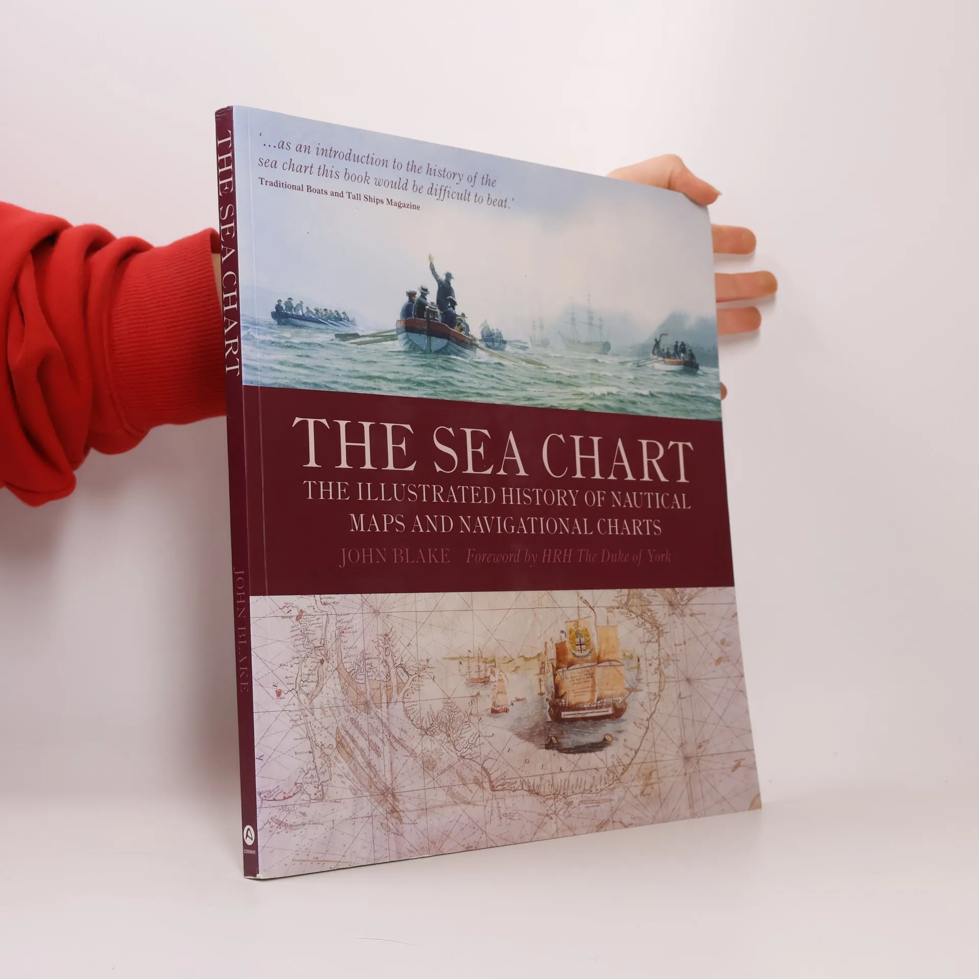
The Sea Chart, John Blake, HRH The Duke of York
- Lingua

- Pubblicato
- 2009
- product-detail.submit-box.info.binding
- (In brossura)
Ti avviseremo via email non appena lo rintracceremo.
Metodi di pagamento
Qui potrebbe esserci la tua recensione.
- Titolo
- The Sea Chart
- Sottotitolo
- The Illustrated History of Nautical Maps and Navigational Charts
- Lingua
- Inglese
- Autori
- John Blake, HRH The Duke of York
- Editore
- Conway Maritime Press
- Pubblicato
- 2009
- Formato
- In brossura
- Pagine
- 160
- ISBN10
- 1844860639
- ISBN13
- 9781844860630
- Serie
- Tag
- Saggistica, Tema stórico, Mappe e viaggi, Tecnologia & Ingegneria, Geografia & Topografia, Manuali e guide, Scienza, Auto & Trasporti, Navi, Navigazione marittima, Cartografia, Geografia storica, Navigazione
- Valutazione
- 4,65 su 5
- Descrizione
- This volume looks at the history and development of the chart and the related nautical map, in both scientific and aesthetic terms, as a means of safe and accurate seaborne navigation. Key figures or milestones in the history of charting are presented in stand-alone story box features.