
Esaurito


Maggiori informazioni sul libro
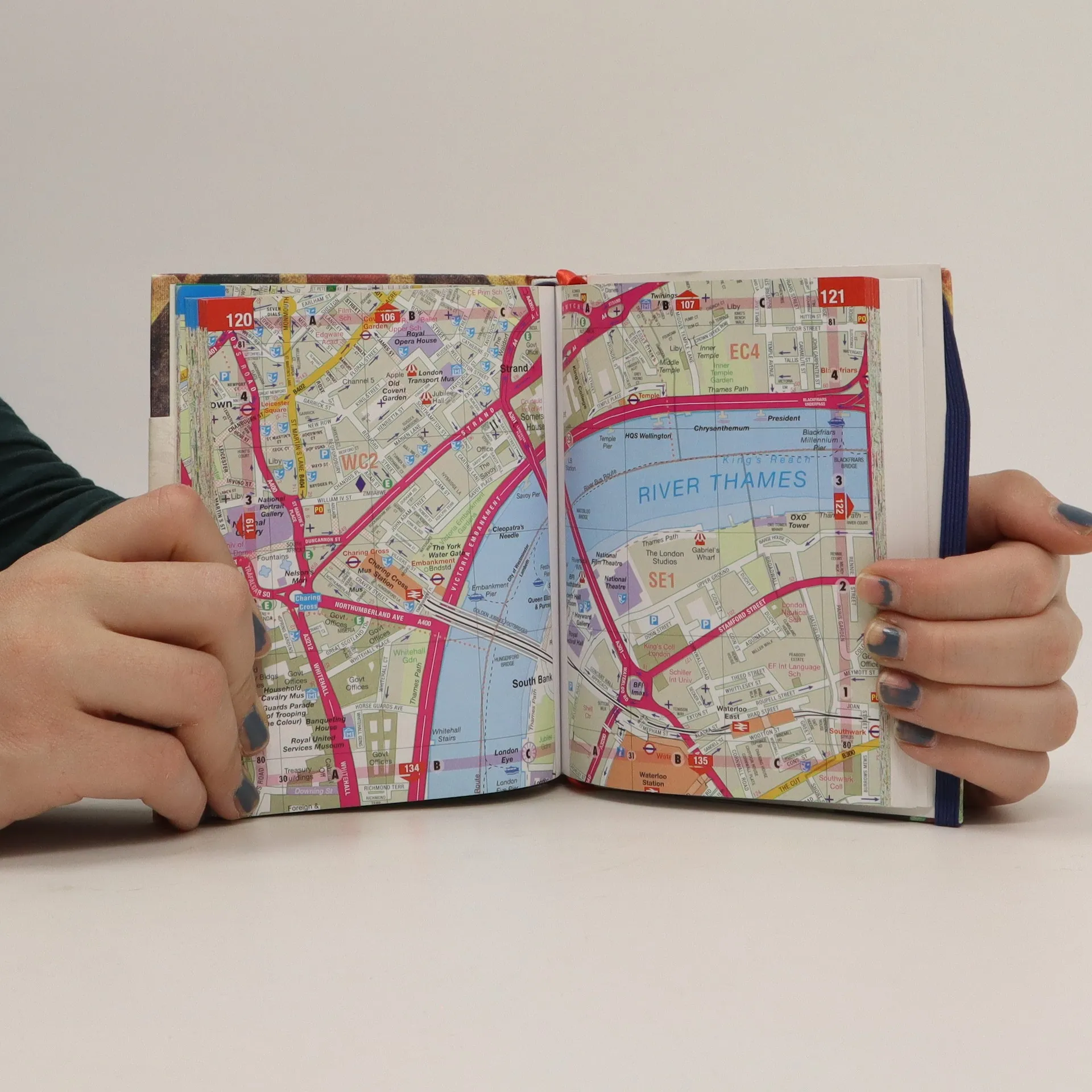
This is a fully revised edition of the definitive London Atlas. Every street is named, the Congestion Charging Zone is highlighted, bus, tube and rail maps are featured, an index is given of hospitals and places of interest, postcodes are given, and theatres, cinemas and shopping are shown on a separate map.


Acquisto del libro
Philip's street atlas of London, AA.VV.
- Lingua

- Pubblicato
- 2012
- product-detail.submit-box.info.binding
- (Copertina rigida)
Metodi di pagamento
Ancora nessuna valutazione.
- Lingua
- Inglese
- Autori
- AA.VV.
- Editore
- Philip's
- Pubblicato
- 2012
- Formato
- Copertina rigida
- Pagine
- 320
- ISBN10
- 1849072280
- ISBN13
- 9781849072281
- Serie
- Descrizione
- This is a fully revised edition of the definitive London Atlas. Every street is named, the Congestion Charging Zone is highlighted, bus, tube and rail maps are featured, an index is given of hospitals and places of interest, postcodes are given, and theatres, cinemas and shopping are shown on a separate map.