
Questo è quello che aggiungi al carrello

Maggiori informazioni sul libro
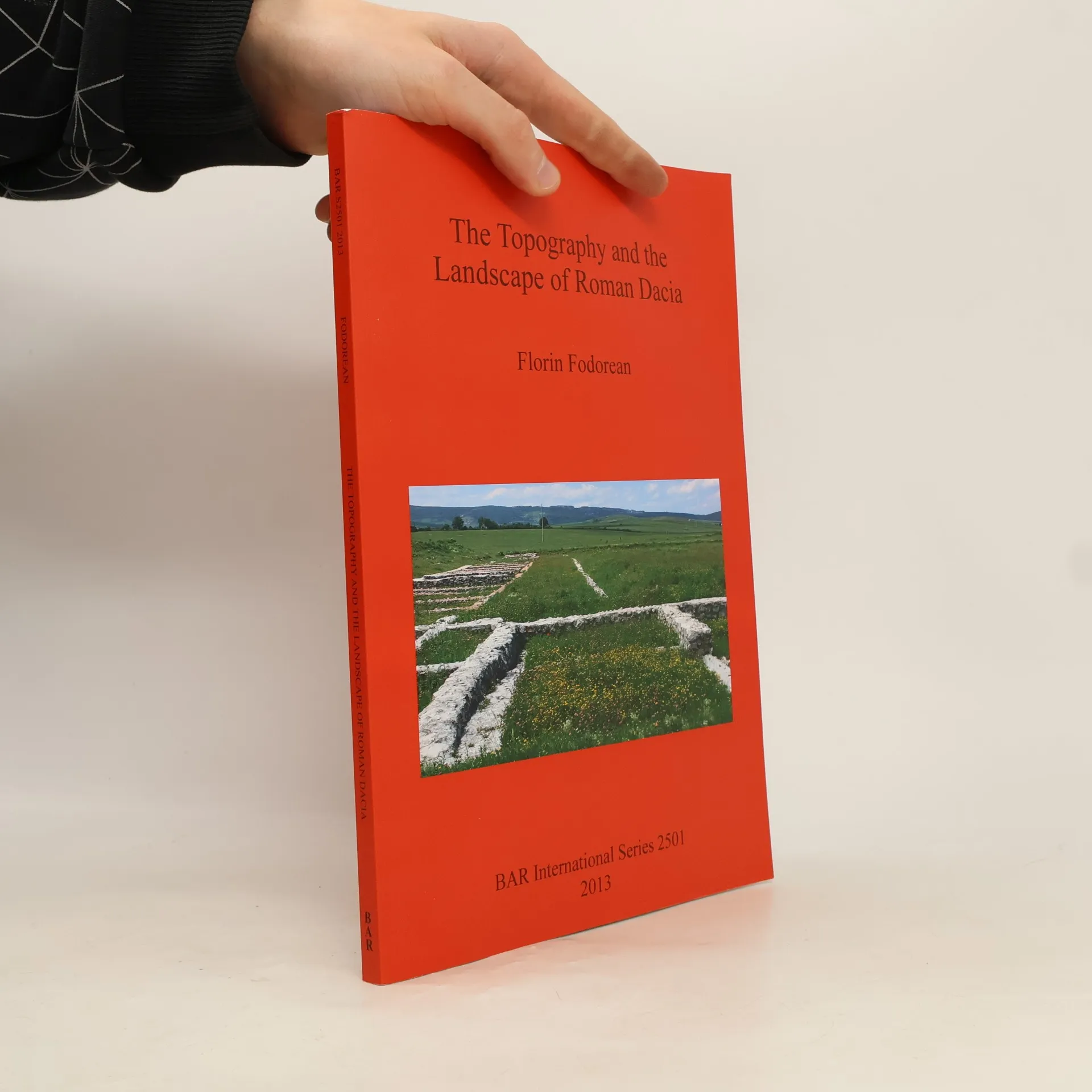
The study delves into the topography and landscape of Roman Dacia, exploring its road network and geographical perceptions before and after the Roman conquest. It analyzes ancient sources, including the 'Tabula Peutingeriana' and archaeological remains, to reconstruct the main roads. The author also investigates rural settlements like Potaissa and Napoca, along with Roman bridges. By integrating historical cartography and modern digital data, the work offers a comprehensive recreation of the landscape of Roman Dacia, highlighting its historical significance.
Acquisto del libro
The Topography and the Landscape of Roman Dacia, Florin-Gheorghe Fodorean
- Lingua

- Pubblicato
- 2013
- product-detail.submit-box.info.binding
- (In brossura),
- Condizioni del libro
- In ottime condizioni
- Prezzo
- 13,49 €
Metodi di pagamento
Ancora nessuna valutazione.
- Titolo
- The Topography and the Landscape of Roman Dacia
- Lingua
- Inglese
- Autori
- Florin-Gheorghe Fodorean
- Pubblicato
- 2013
- Formato
- In brossura
- Pagine
- 147
- ISBN10
- 1407311174
- ISBN13
- 9781407311173
- Serie
- Tag
- Saggistica, Scienze sociali, Tema stórico, Storia del mondo, Archeologia, Antica Roma, Sacro Romano Impero, Archeologia del paesaggio
- Descrizione
- The study delves into the topography and landscape of Roman Dacia, exploring its road network and geographical perceptions before and after the Roman conquest. It analyzes ancient sources, including the 'Tabula Peutingeriana' and archaeological remains, to reconstruct the main roads. The author also investigates rural settlements like Potaissa and Napoca, along with Roman bridges. By integrating historical cartography and modern digital data, the work offers a comprehensive recreation of the landscape of Roman Dacia, highlighting its historical significance.